
Driving the Alaska Highway: Fuel, Seasons and Border Stops
Alaska Highway 2026: ~2,232 km Dawson Creek to Delta Junction, half-tank fuel rule, seasonal stops, and the Beaver Creek border.
The Alaska Highway runs about 2,232 kilometres from Mile 0 in Dawson Creek, British Columbia, to Delta Junction, Alaska. It’s paved end to end now, open year-round on paper, and still a real northern drive: long gaps between fuel, seasonal lodges, and a border stop that doesn’t care how pretty your itinerary looks. Most people who enjoy it take five to seven days one way, not the three-day hammer-down that leaves you remembering only gas stations.
Built in 1942 by the US Army Corps of Engineers as a wartime supply road, it still carries that purpose-first character. Historic mileposts don’t always match modern kilometre markers - reconstruction shortened the original route - so treat the posts as folklore and your odometer as the plan. You’ll see older “Mile 1422” language on signs even when GPS says you’ve already driven less.
Fuel: the half-tank rule
Stations exist. They are not spaced like a freeway. In remote stretches you can go 100 to 150 miles - that is 160 to 240 km - without a pump, which is The Milepost’s own planning figure and the reason its advice is to drive on the top half of the tank, and some seasonal businesses simply shut from autumn into late spring. The practice that keeps people out of trouble is blunt: when the needle hits half, and you see fuel, fill up. Don’t argue with the next map pin.
Carry a proper spare tire, not a doughnut, and a plug kit. Chip seal and frost heaves punish soft sidewalls, and a tow from between Fort Nelson and Watson Lake is an expensive souvenir. Prices run by the litre and sit higher than southern BC or Alberta - budget for that before you leave Dawson Creek angry at the first pump. Diesel and regular both show up in the main towns; smaller lodges sometimes run out of one grade before the next delivery, which is another reason not to arrive on fumes.
If you’re renting, read the contract for gravel, chip-seal and cross-border rules before you pick up the keys. Many Canadian rentals allow Alaska with notice; some don’t. Discovering that at Beaver Creek is a bad afternoon.
Seasons that decide the drive
Mid-May to mid-September is the practical window for a first trip. June and July bring long daylight and the fullest services; August still works well; early September is quieter but some lodges and visitor desks start winding down. Winter is possible with winter tires, recovery gear and real cold experience - it’s a different trip, not a discount version of summer. Cell coverage drops for long stretches in every season, so download offline maps while you’re still on Wi-Fi in Dawson Creek or Whitehorse.
Two Parks Canada clocks matter if you’re looping past Kluane. The Haines Junction visitor centre in the Da Kų Cultural Centre runs 15 May to 20 September, 9 am to 5 pm daily. The Thechàl Dhâl Visitor Centre on Kluane Lake runs 20 May to 6 September, 10 am to 4 pm daily. Kathleen Lake Campground opens 15 May and closes 20 September at 4 pm; a 2026 campsite is C$30 a night including firewood, and the Canada Strong Pass 25% camping discount ran 19 June to 7 September 2026, with regular rates from 8 September.
Wildlife is part of the drive, not a sideshow. Moose and bears use the road corridor, especially at dusk. Slow down in the brushy sections near Muncho and along Kluane Lake; hitting a moose ends the holiday instantly.
Dawson Creek to Muncho Lake
Start at the Mile 0 marker in Dawson Creek, photograph it, then leave. Fort St. John comes quickly; after that the road settles into northern BC rhythm - long straights, then the Northern Rockies. Fort Nelson is the last full-service town before the scenery gets serious: use it for fuel, a bed, or a mechanic if anything already feels wrong. From here the highway begins to feel remote in a useful way - fewer billboards, more pull-outs, and weather that can flip between valleys.
Beyond Fort Nelson the highway climbs past Muncho Lake, a cold jade lake pressed against steep mountains, and the pull-outs multiply. Liard River Hot Springs sits just off this corridor and is worth the stop if your schedule isn’t a death march - the boardwalk into the pools is short, and after a day of seat vibration it’s the reset most drivers remember. This is also where people burn daylight staring at stone and water - plan overnight room so you don’t arrive in Watson Lake after every kitchen has closed.
Watson Lake and the Sign Post Forest
Crossing into the Yukon near Lower Post / Watson Lake puts you roughly 970 kilometres from Dawson Creek. Watson Lake is fuel, basic rooms, and the Sign Post Forest - more than 100,000 travellers’ signs nailed to posts until the place looks like a metal aspen grove. Five minutes is enough; then fill the tank again. The next reliable cluster of services is a long way toward Whitehorse, with Teslin as a useful mid-point if it’s open when you pass.
The Yukon stretch runs roughly another 930 kilometres through the territory before the Alaska line. Distances look small on a national map and feel large at 80-90 km/h with stops. That’s normal. You’re not late; you’re on the Alaska Highway.
Whitehorse: the real halfway house
Whitehorse is the capital and the only city-sized stop on the Canadian half of the drive. Groceries, tire shops, hotels and a night off the highway all live here. It’s also the natural base for a side trip into Kluane National Park or a pause before the border days. For the wider territory context, see the Yukon travel guide.
Don’t try to “save” Whitehorse for the return and push through tired. The road after Haines Junction toward Beaver Creek is emptier, and a fresh morning is cheaper than a bad decision at 11 pm. If you’re flying into the trip instead of driving up from the Prairies, Whitehorse airport (YXY) is the practical northern pickup for a rental that already sits inside the hard stretch.
Haines Junction, Kluane, then the border
Haines Junction sits under the Kluane ranges about 160 kilometres west of Whitehorse. Stop at the Parks Canada desk in the Da Kų Cultural Centre for trail conditions, then decide whether you have a day for Kathleen Lake (south on the Haines Road) or just a highway glance at the icefield country. The interior icefields themselves are flightseeing or mountaineering country - the highway only skirts the edge. Soldier’s Summit, a 1 km return walk just north of Thechàl Dhâl Visitor Centre, marks the 1942 opening ceremony site if you need a five-minute history stop without leaving the corridor.
From there the Alaska Highway runs north along Kluane Lake, past Destruction Bay and Burwash Landing, toward Beaver Creek. This is the last Canadian fuel and the Alcan border crossing into Alaska. Have passports and vehicle paperwork ready; summer weekends queue. Get the two posts the right way round: heading north into Alaska you clear US CBP at Alcan (port 3104, Milepost 1221.8), and CBP publishes it as open all day, every day. CBSA Beaver Creek, about 30 km back down the highway, is the southbound post for entering Canada, and it runs 24 hours for travellers too. Neither is a limited-hours crossing, so the thing to plan around is queue length, not opening time. For the broader document and eTA rules on US-Canada car trips, use Crossing the US-Canada Border by Car. You’re entering a different country mid-road-trip; treat it like a port, not a scenic pull-out.
Delta Junction, not Fairbanks
The highway ends at Delta Junction, marked by the end-of-highway monument. Fairbanks is another ~155 kilometres north on the Richardson Highway. People often say they “drove the Alaska Highway to Fairbanks”; what they mean is they finished the Alaska Highway and kept going. Tok is the first Alaskan services cluster after the border if you need fuel before Delta. Once you’re in Alaska the mileposts resume their own logic - keep using your current map, not a 1940s postcard.
What a sane itinerary looks like
| Pace | Days (one way) | What you actually get |
|---|---|---|
| Hard push | 3-4 | Fuel stops, little scenery time, high fatigue |
| Comfortable | 5-6 | Muncho / Liard, Watson Lake, Whitehorse night, Kluane glance, border without panic |
| With Kluane | 7+ | Extra night near Haines Junction, Kathleen Lake or a flightseeing day |
Budget from roughly C$200 a day upward - our Canada trip cost breakdown puts a budget day at C$100-150 and mid-range at C$200-350, and the north sits at the top of both bands once you count fuel at northern prices, a motel or campground, and food - rentals and flightseeing sit on top of that. Compare this drive with shorter Canadian classics in Best Road Trips in Canada; the Alaska Highway is the long northern commitment, not a weekend loop.
Leave Dawson Creek with a full tank, a real spare, and a schedule that assumes something closes. The road delivers if you treat distance as the main character.
Route day by day
- Days on the road
- 6
- Distance
- ≈2232 km
- Budget from
- 200 CAD
- Best season
- May, June, July, August, September
The route at a glance
-
Dawson Creek (Mile 0)
Route startstop ≈45 min
Mile 0 post and last big BC services before the long northern stretch. Fill the tank here even if it looks half full.
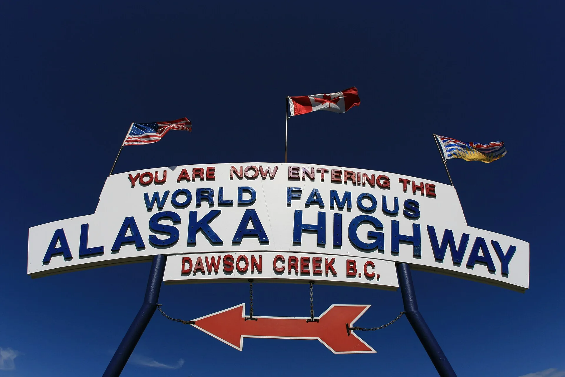
Photo: Will Elmore · Public domain · Wikimedia Commons ( source) -
Fort Nelson
450 km from the startstop ≈60 min
Full-service town after a long BC stretch. Fuel, rooms and mechanics before Muncho Lake and Liard.
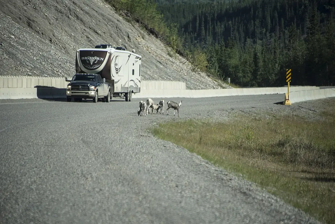
Photo: gillfoto · CC BY-SA 4.0 · Wikimedia Commons ( source) -
Muncho Lake
681 km from the startstop ≈90 min
Jade-green lake and the Northern Rockies corridor. Liard River Hot Springs is a short detour off the same stretch.
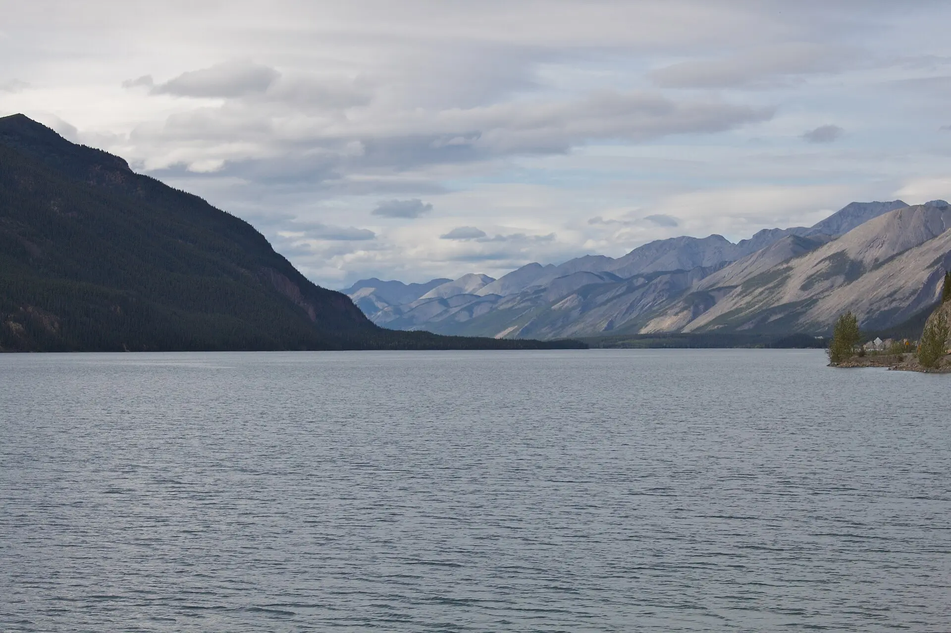
Photo: Gerry from Fort St. John, BC, Canada · CC BY-SA 2.0 · Wikimedia Commons ( source) -
Watson Lake Sign Post Forest
970 km from the startstop ≈45 min
First proper Yukon services after the BC wilderness. Fuel up; the Sign Post Forest is the obligatory five-minute stop.
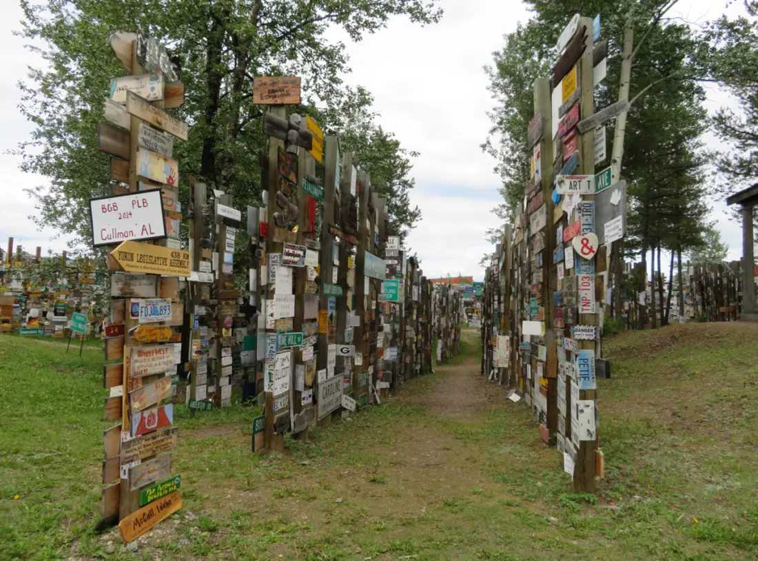
Photo: Katiew.w · CC BY-SA 4.0 · Wikimedia Commons ( source) -
Whitehorse
1426 km from the startstop ≈0 min
Capital of the Yukon and the only sizeable city on the Canadian side. Best overnight for repairs, groceries and a proper hotel.
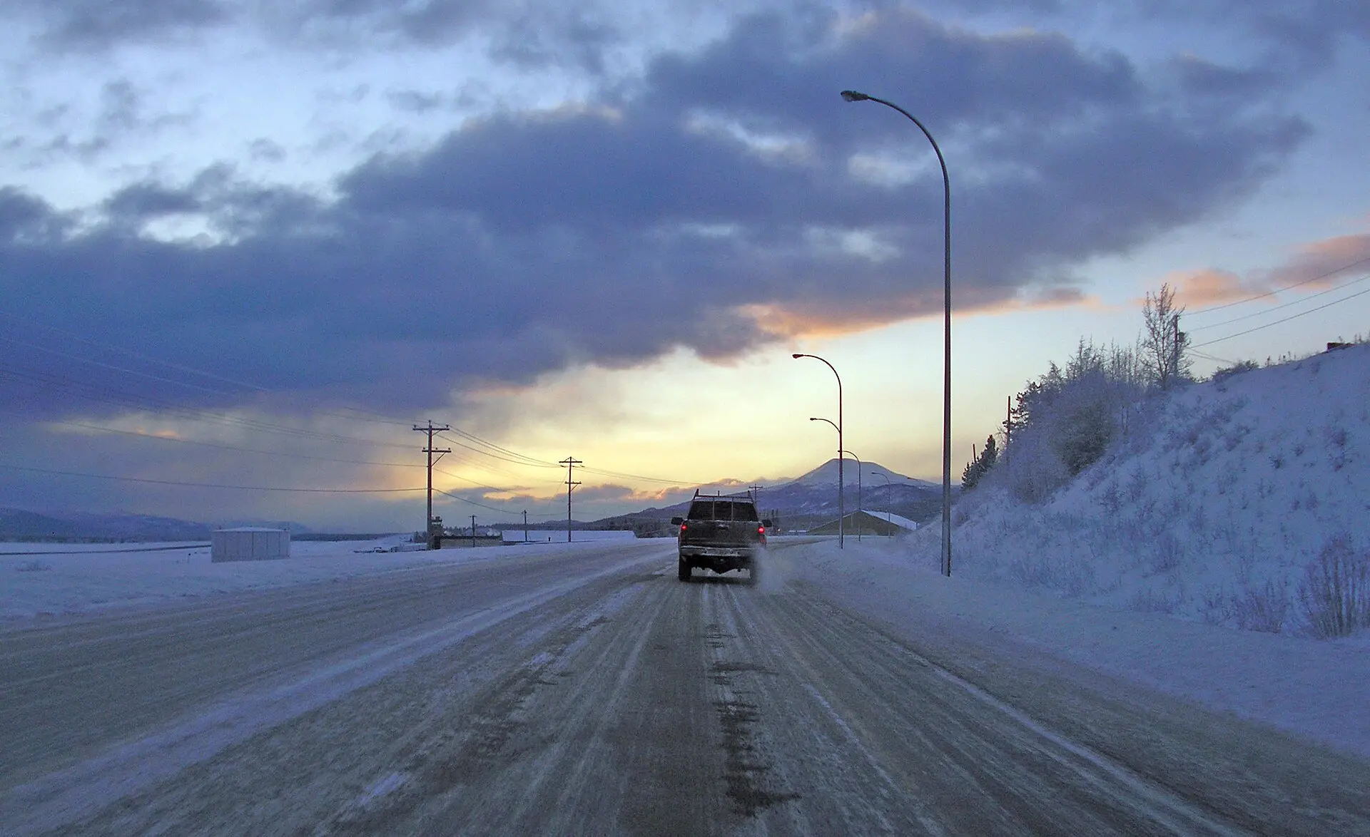
Photo: jkbrooks85 · CC BY 2.0 · Wikimedia Commons ( source) -
Haines Junction and Kluane
1578 km from the startstop ≈120 min
Gateway to Kluane National Park. Parks Canada visitor centre in the Da Kų Cultural Centre; Kathleen Lake 27 km south on the Haines Road.
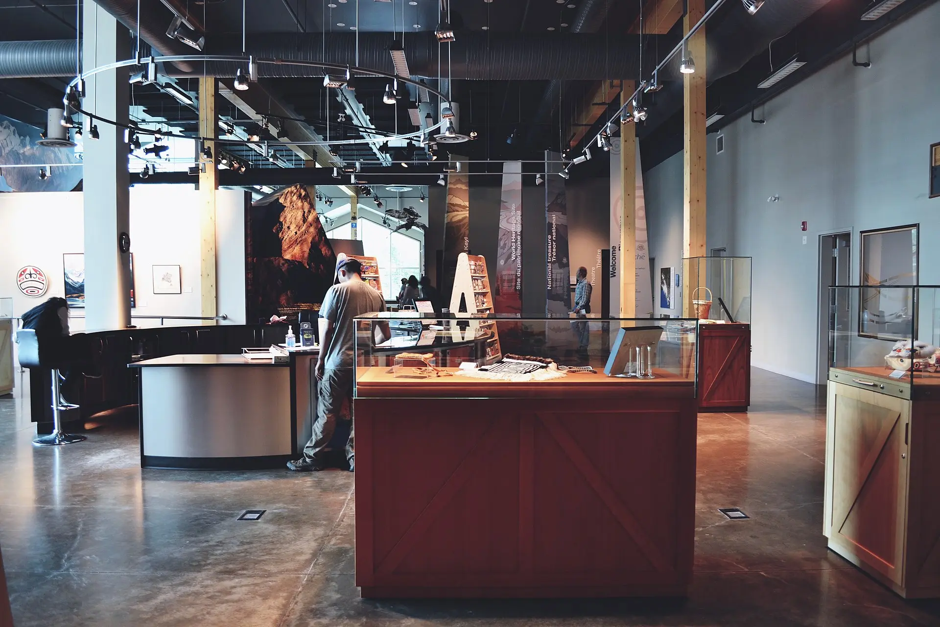
Photo: i threw a guitar at him. · CC BY 2.0 · Wikimedia Commons ( source) -
Beaver Creek / Alaska border
1903 km from the startstop ≈60 min
Last Canadian fuel before the border. Driving north you clear US CBP at Alcan (open 24 hours); CBSA Beaver Creek is the southbound post, about 30 km back. Have passports ready; queues grow on summer weekends.
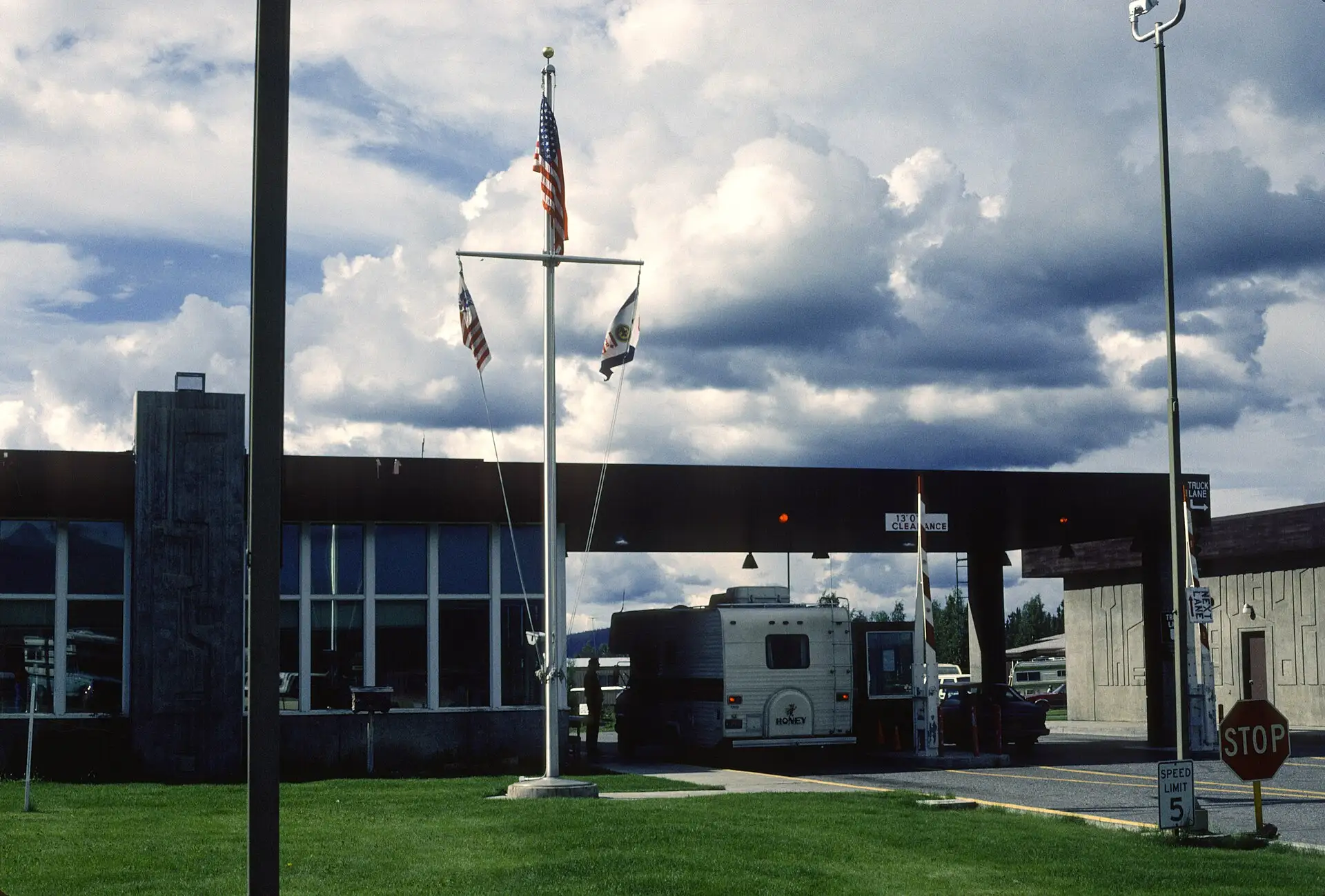
Photo: David Wipf · CC BY 2.0 · Wikimedia Commons ( source) -
Delta Junction (highway end)
2232 km from the startstop ≈30 min
Official end of the Alaska Highway. Fairbanks is another ~155 km north on the Richardson Highway.
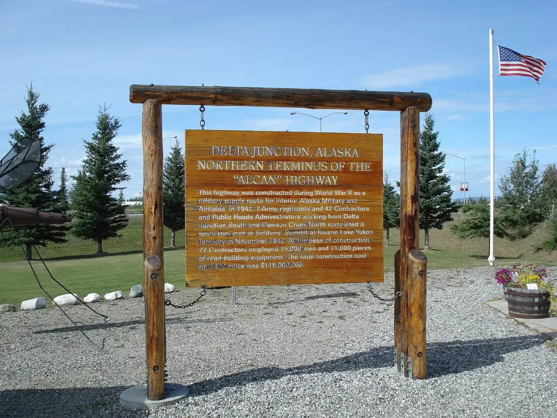
Photo: Nader Moussa · CC BY-SA 3.0 · Wikimedia Commons ( source)
Route map
The map with stops loads on click - to keep the page lightweight.
The map didn’t load. Check your connection and refresh the page.