
Cabot Trail: Cape Breton Stop by Stop
Driving the Cabot Trail: the 298 km Cape Breton loop stop by stop, the Skyline Trail and its 2026 parking rule, whale towns, Celtic Colours and when to go.
The Cabot Trail is a 298 km loop around the northern tip of Cape Breton Island, and it’s the reason most people give Nova Scotia a second week. It threads along ocean cliffs, climbs onto a windswept highland plateau, and drops through Acadian, Gaelic and fishing villages, in and out of Cape Breton Highlands National Park. You can drive the whole circle in one long day, but that misses the point. Give it two or three days, base yourself in Baddeck or Ingonish, and leave time to hike, watch for whales and let the weather change its mind.
Baddeck, on the inland sea of the Bras d’Or Lake, is the natural start and finish. It sits near the Canso Causeway that connects Cape Breton to the mainland, it has the Alexander Graham Bell museum - Bell spent his summers here and did much of his later experimenting on the lake - and it’s the last easy place to fill the tank before the loop. From there the stops below run up the west coast to Chéticamp, across the highlands, and back down the east coast through Ingonish, the order most people drive.
Don’t underestimate the road itself. The 298 km circle is slow going: it climbs and drops through switchbacks and hairpins, sea fog can wipe out the views for an hour and lift the next, and every pull-out tempts you to stop. Reckon on the better part of a day of actual driving before you add a single hike, which is exactly why one rushed day sells the place short.
Which way round
The loop works in either direction, so treat this as a preference rather than a rule. Some drivers go clockwise, up the west side first, arguing that on the way back down the eastern highlands you are in the inside lane and less exposed. Others go the other way to put the big western sea cliffs on their own side of the car. The guardrails are good both ways and the pull-outs serve both directions, so pick whichever gets you to the Skyline Trail in good afternoon light and don’t overthink it.
The national park and the Skyline Trail
The Cape Breton Highlands National Park covers the northern third of the loop, and you pay park admission to stop at its trailheads and lookoffs. The adult daily fee is C$10; it was waived for everyone from 19 June to 7 September 2026 under the Canada Strong Pass and is charged again from 8 September 2026. There are two gates - Chéticamp in the west, Ingonish in the east - and the road between them is the most dramatic stretch of the whole drive: the highway climbs French, MacKenzie and North mountains onto a bare, sub-Arctic plateau, then plunges back to the sea on the far side. The lookoffs on those climbs are the ones people remember, so build in time to actually stop at them rather than glancing sideways at the wheel.
The park’s signature walk is the Skyline Trail, a mostly level track that ends on a boardwalk stepping down a headland to a cliff high above the Cabot Trail and the Gulf of St. Lawrence. It’s 6.5 km there and back, or an 8.2 km loop, and from the viewing decks you can often spot whales in the water below and moose in the barrens behind you. One change matters for 2026: Parks Canada’s paid parking reservation system for the trail covers 26 June to 25 October 2026, so on those dates you book your parking rather than turn up and hope for a space; from 26 October 2026 no reservation is needed. There weren’t any 2027 parking rules on the park’s page as of 19 October 2026, so check the park’s Skyline Trail page before you go.
Acadian, Gaelic and fishing villages
Part of what makes the loop more than a scenic drive is the cultural mix packed into it. Chéticamp, at the west gate, is an Acadian village where French is the everyday language, the hooked-rug tradition is famous, and the whale boats tie up in the harbour. Round the north and down the east side and the accent shifts: this corner of the island was settled by Highland Scots, and at St. Ann’s the Gaelic College still teaches Scottish Gaelic, fiddle and step-dance. In between, Pleasant Bay calls itself the whale-watching capital of Nova Scotia, Cape North is the turn-off for the rough road out to Meat Cove at the island’s very tip, and Ingonish has the grand old Keltic Lodge and one of the best-known golf courses in the country. Baddeck ties the Bell story and the Bras d’Or Lake back into the loop.
Whales and moose
Two kinds of wildlife draw people here, and both deserve honest wording. Whale tours run mainly out of Pleasant Bay and Chéticamp from roughly June to September, and pilot whales are the common sighting, with minke and the occasional humpback; no operator can promise you a whale on a given afternoon. Moose are genuinely likely on the highland plateau at dawn and dusk - this is one of the densest populations in the province - but “often seen” is the honest phrase, not “guaranteed.” Give any moose on the road a wide berth; they’re far bigger and less predictable than they look.
Celtic Colours, and when to drive it
Summer, from June through August, is the busiest and easiest season: every trail, gate and whale boat is running, and the days are long. But the marquee time is autumn, and the two official tourism bodies time it a little differently. Tourism Nova Scotia puts the Cabot Trail’s best colour in early to mid-October, with the national park usually at its best in early October; Destination Cape Breton, the island’s own tourism organization, gives 10 to 23 October for the island as a whole, with the south coast usually first and the north later. Neither promises a date, so treat early October to about 23 October as the window. The island times its biggest party to the turning leaves: the Celtic Colours International Festival fills village halls across Cape Breton with Gaelic and Acadian music for nine days every October. Its 30th edition ran 9 to 17 October 2026, and the festival’s own dates page lists 8 to 16 October 2027 and 6 to 14 October 2028 (as of 19 October 2026). If you come for it, you’ll want to book beds early, because the small towns fill fast, and to check celtic-colours.com before you go.
What it costs
A bare-bones day on the loop starts around C$25 - the C$10 park fee plus fuel for the circle - and climbs from there with tours, meals and a night or two on the island. Canada Strong Pass free windows, the summer 2026 one included, took the park fee off that bill. Fuel discipline is worth a thought: fill up in Baddeck or Chéticamp rather than counting on the small communities in between, and remember the highland climbs burn more than the flat.
Beds are the real constraint, not the budget. The villages on the loop are small, the season is short, and Ingonish, Chéticamp and Baddeck book out fastest, so a summer weekend or the Celtic Colours week needs reserving well ahead. If you would rather not move hotels, base once in Baddeck or Ingonish and drive the circle as a single long day out and back - the loop returns to where it started, so either end works.
The Cabot Trail is Cape Breton’s headline, but the wider province is worth the drive up: our Nova Scotia travel guide sets the loop in context, Halifax is where most trips start, and the Canadian food guide covers the lobster and seafood you’ll eat along the coast. For the drive itself, see renting a car in Canada.
Read also
- The province the drive belongs to: Nova Scotia travel guide
- The city most trips start in: things to do in Halifax
- Every national park we cover: the parks hub
- Getting the right car for it: renting a car in Canada
Route day by day
- Days on the road
- 2
- Distance
- ≈298 km
- Budget from
- 25 CAD
- Best season
- June, July, August, September, October
The route at a glance
-
Baddeck
Route startstop ≈60 min
The usual base, on the Bras d'Or Lake near the Canso Causeway and home of the Alexander Graham Bell National Historic Site. Fuel up and start the loop here.
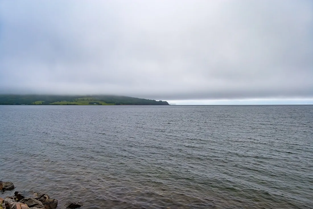
Photo: Michel Rathwell · CC BY 2.0 · Wikimedia Commons ( source) -
Margaree Harbour
45 km from the startstop ≈20 min
Where a famous salmon river valley meets the coast and the loop hits the west shore. Range lights and a long beach.
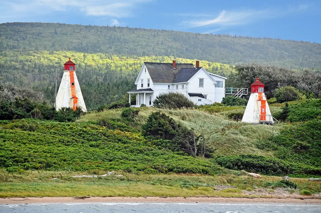
Photo: Dennis G. Jarvis · CC BY-SA 2.0 · Wikimedia Commons ( source) -
Chéticamp
85 km from the startstop ≈90 min
Acadian fishing village at the west park gate: French is spoken, the hooked rugs are famous, and the main whale-watching boats leave from here.
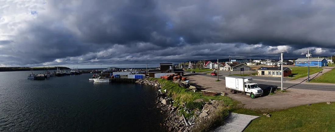
Photo: Mykola Swarnyk · CC BY-SA 3.0 · Wikimedia Commons ( source) -
Skyline Trail (French Mountain)
105 km from the startstop ≈150 min
The signature hike, a cliff-top boardwalk over the Gulf of St. Lawrence. New for 2026: paid parking reservations run 26 June to 25 October 2026; from 26 October 2026 no reservation is needed.
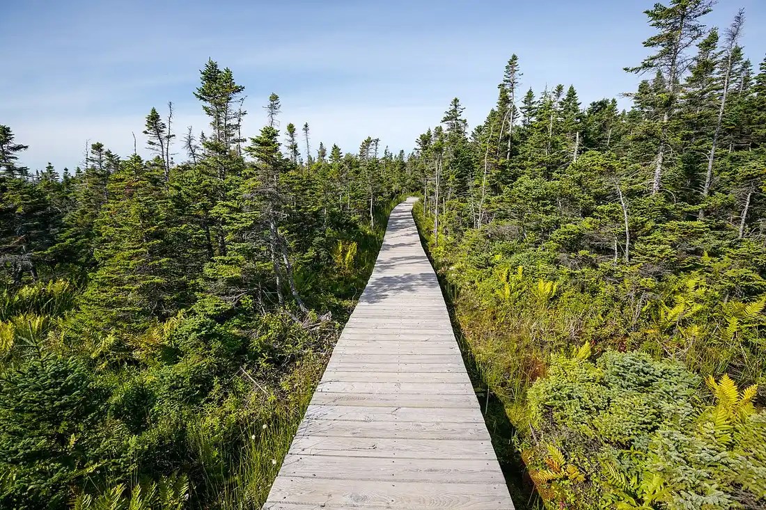
Photo: Tony Webster · CC BY-SA 2.0 · Wikimedia Commons ( source) -
Pleasant Bay
118 km from the startstop ≈60 min
Billed as the whale-watching capital of Nova Scotia, with a Whale Interpretive Centre, on the bend from the west coast to the north.
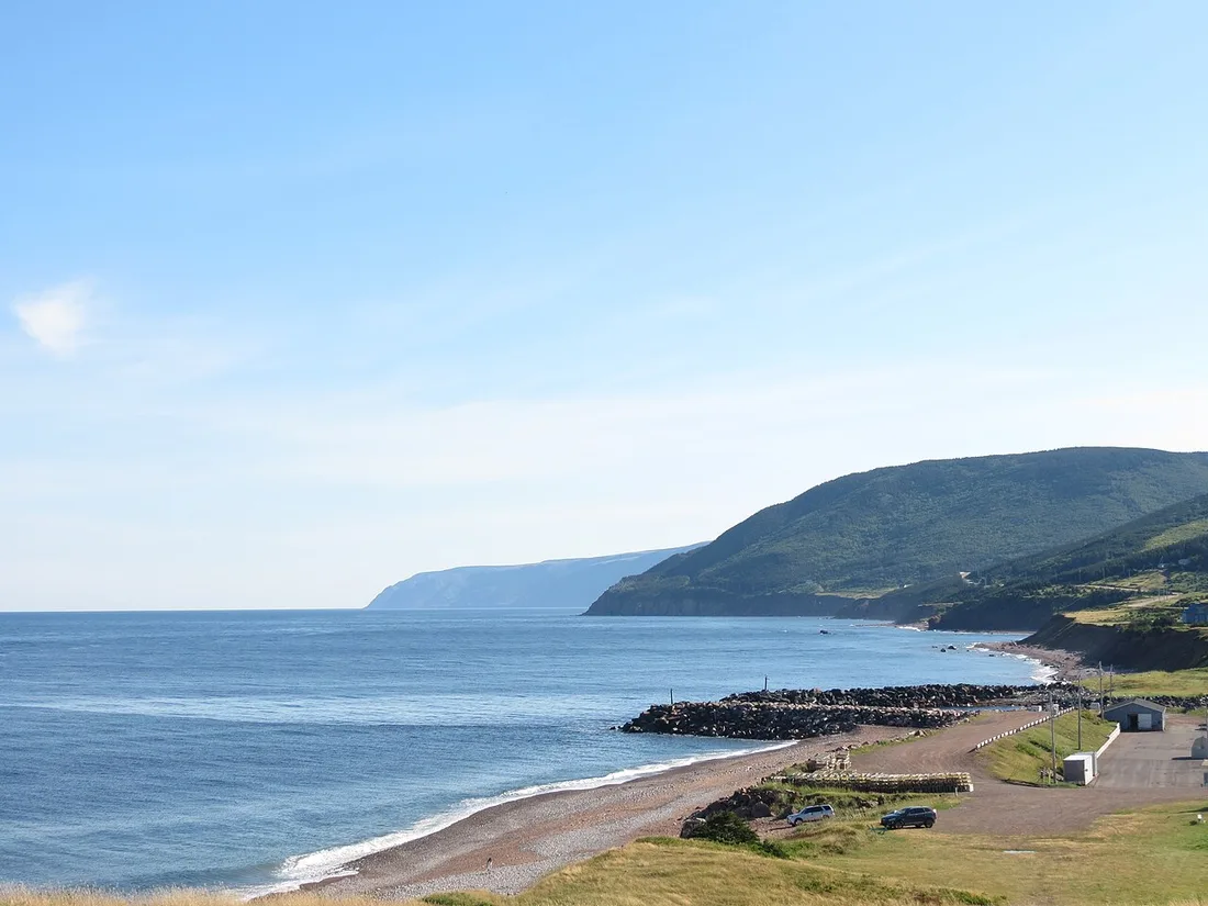
Photo: VerifiedCactus · CC BY-SA 4.0 · Wikimedia Commons ( source) -
Cape North and Aspy Bay
150 km from the startstop ≈30 min
The turn-off for the far north: Bay St. Lawrence and the rough road out to Meat Cove, the island's northernmost tip.
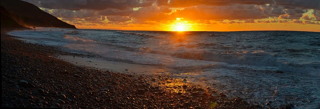
Photo: James R. W. Stewart · CC BY-SA 4.0 · Wikimedia Commons ( source) -
Ingonish
205 km from the startstop ≈90 min
The east park gate: Keltic Lodge, the sweep of Ingonish Beach and the Highlands Links golf course.
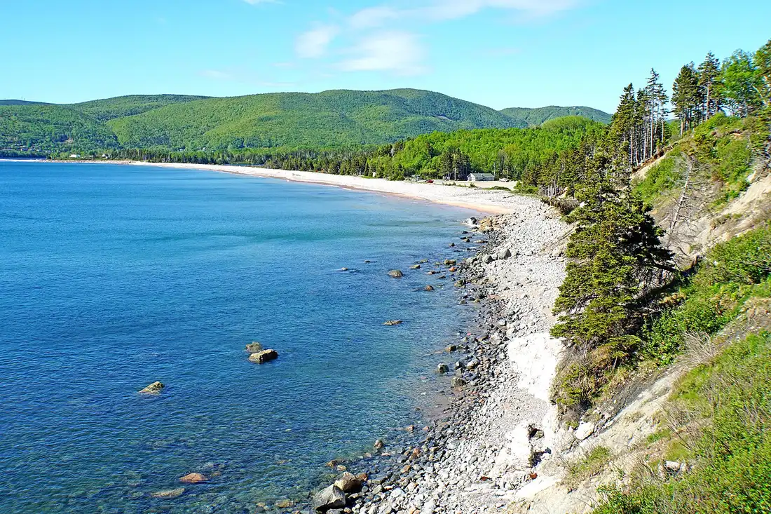
Photo: Dennis G. Jarvis · CC BY-SA 2.0 · Wikimedia Commons ( source) -
Cape Smokey
225 km from the startstop ≈40 min
A headland lookoff and gondola just south of Ingonish, with a long view back up the coast you have driven.
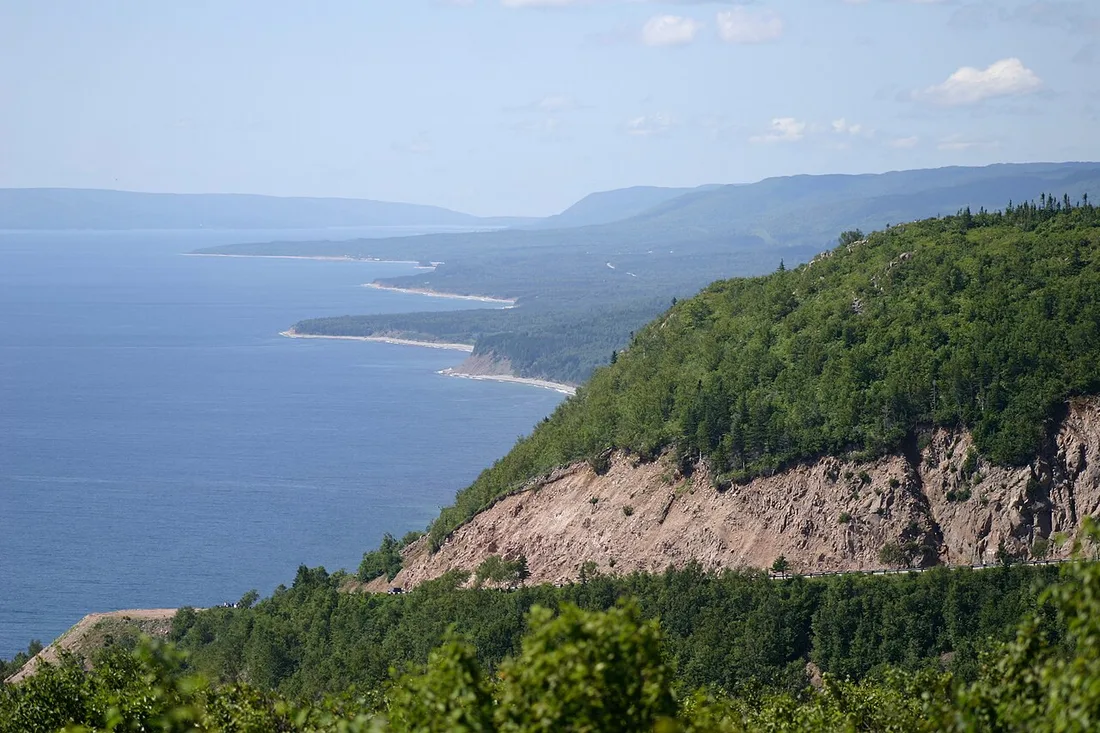
Photo: Martin Cathrae · CC BY-SA 2.0 · Wikimedia Commons ( source) -
St. Ann's and the Gaelic College
270 km from the startstop ≈45 min
A Gaelic culture stop on the run back to Baddeck: the Gaelic College at St. Ann's teaches Scottish Gaelic and Celtic crafts.
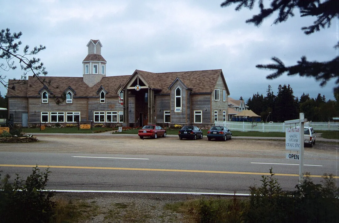
Photo: Mikmaq · CC BY 3.0 · Wikimedia Commons ( source)
Route map
The map with stops loads on click - to keep the page lightweight.
The map didn’t load. Check your connection and refresh the page.