
Tofino: Surf, Storms and Your Pacific Rim Basecamp
Tofino BC in practice: the one road in, storm watching versus surf season, where to sleep and eat, and the tides and bears you plan around.
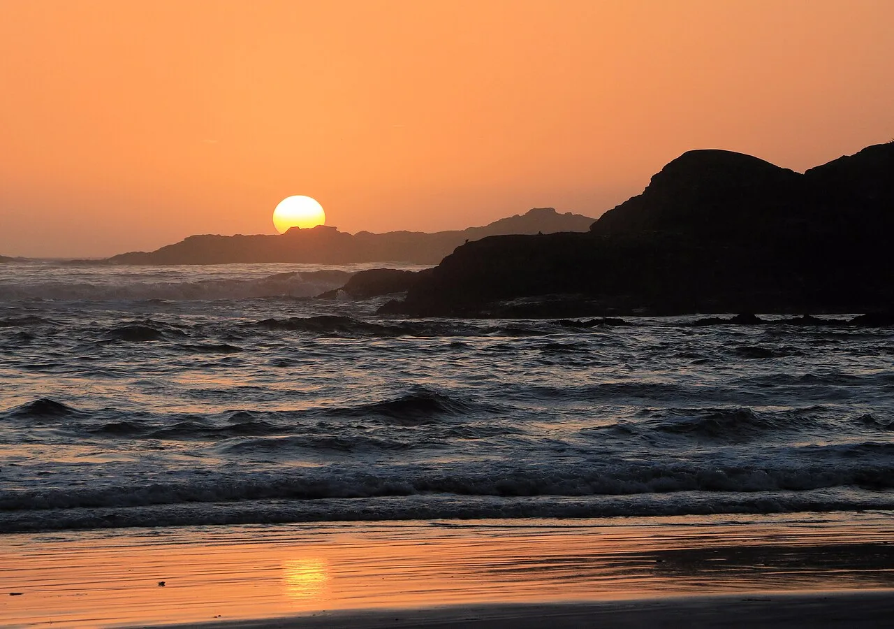
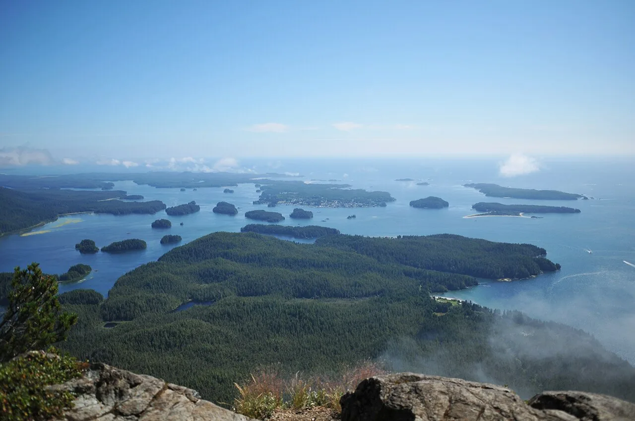
Tofino is a fishing-and-surf village of under three thousand people at the far end of Vancouver Island, and the drive in shapes almost everything about visiting it. Book the wrong week in high season and you’ll pay top rate for a room a five-minute drive further out would have halved. Treat storm season as the off-season, the way the calendar makes it sound, and you’ll miss the reason half the coast’s best lodges exist in the first place. This guide is about the village itself, not the park at its doorstep - Pacific Rim National Park Reserve, with Long Beach, the rainforest and the West Coast Trail, is that guide’s story. This one covers where you sleep, what you eat, and how you actually get in and out.
Here’s the part that catches people out: there’s no way around a closure. Highway 4 is the only road connection to Tofino, so when it shuts for a slide, snow or a collision, there’s no detour, only a wait - and DriveBC’s posted reopening estimate is often a guess that slips. If you’re already in town when it closes, the practical fallout is usually a missed flight or ferry connection back on the mainland side, not a stranded feeling in Tofino itself. If you’re driving in and hit a closure, the better move is to turn back to the nearest town with a room rather than wait it out at the roadside, and check DriveBC again in a few hours.
Getting to Tofino: one road, or a plane
The drive comes off two BC Ferries routes to Vancouver Island’s east side, then a straight run west. From Nanaimo it’s about three hours and 207 kilometres; from Victoria, plan on roughly four and a half to five hours over 318 kilometres, most of it on Highway 4 through the middle of the island. Winter tires or chains are required on the highway from 1 October to 31 March, and the road has been known to close for washouts and snow even outside that window. Check DriveBC before a tight ferry connection, not after you’ve missed one.
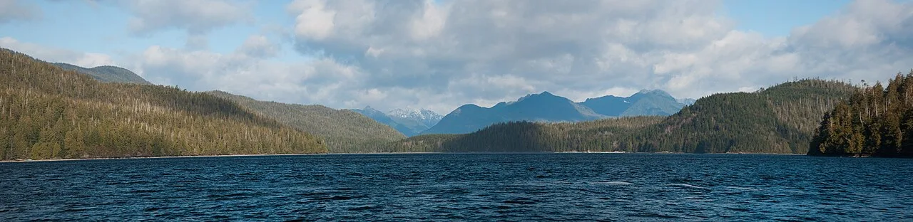
Flying skips all of that, and which flight you’re looking at depends on the season. Tofino-Long Beach Airport (YAZ), a short drive from downtown, takes scheduled flights from Vancouver on Pacific Coastal Airlines year-round, plus seasonal service from Nanaimo and Victoria on Tofino Air; Harbour Air adds a winter-only wheeled service into that same airport from late October to late March. Come spring and summer, Harbour Air switches to its floatplane instead, landing straight in Tofino Harbour within walking distance of downtown rather than out at the airstrip. The two Harbour Air options don’t overlap - check which one is actually running before you book. None of this is cheap, and none of it is guaranteed in poor weather, so if your whole trip hinges on one flight, build in a buffer day.
Summer surf, winter storms: two seasons, two different trips
Tofino runs on two calendars that barely overlap. Summer, roughly June through September, is surf weather, whale season and the busiest the highway gets all year; rooms fill first and cost the most, and the good ones are gone well before the long weekend crowds show up. Book that trip in spring if you can.
Winter turns the whole trip on its head. Storm-watching season runs through the fall and winter months, by most local accounts heaviest from mid-November to mid-January, and for the coast’s better lodges it’s genuinely a peak booking window rather than a slow one. Tourism Tofino describes waves at spots like Cox Bay rolling in at up to 20 feet, roughly 6 metres, and people pay real money to sit behind glass with a fire going and watch it happen. Our Pacific Rim guide has more on the season and the lodges built around it. Either way, the rule is the same: decide which trip you’re taking before you book a room, because a surf-season hotel and a storm-watching hotel aren’t selling the same thing.
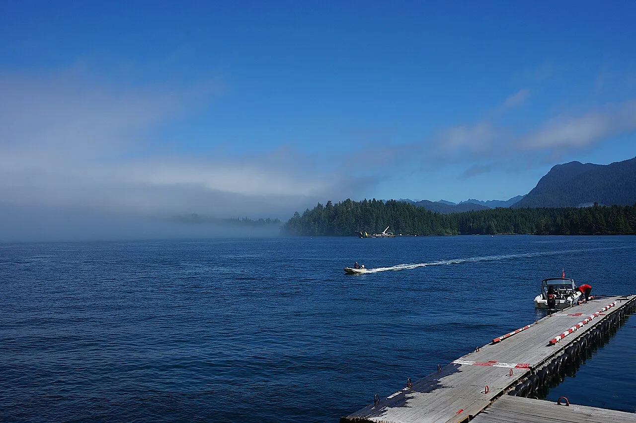
The village: where to sleep
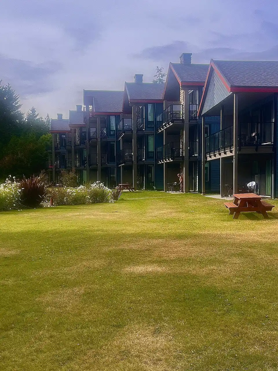
Tofino has no cheap neighbourhood and no bad one, just different trade-offs. Downtown, packed into a few blocks near the harbour, puts you closest to restaurants and the Meares Island water taxi and is the easiest base if you don’t have a car. Chesterman Beach and Cox Bay, a short drive or a long walk south, are where the surf resorts sit, with beach access instead of a harbour view and a premium price tag to match. Whichever you pick, the summer rule is simple: book weeks ahead, because a town this size runs out of rooms fast, and the storm season sells out its view rooms just as quickly on the opposite end of the year.
The village: where to eat and shop
Tofino punches well above its size at the table, for a village this small. Tacofino started here as a single taco truck in a parking lot before it grew into a small BC chain, and the original still draws a line at lunch. Tofino Brewing Company, out on Industrial Way, pours a proper local pint and pulls a genuine mix of surf instructors, boat crews and everyone else in town. Downtown’s short main strip mixes casual seafood counters with a handful of small organic grocers for anyone self-catering a rental; the sit-down rooms worth a wait, Browns Socialhouse among them, tend to sit a short drive south toward Mackenzie Beach rather than right on that strip.
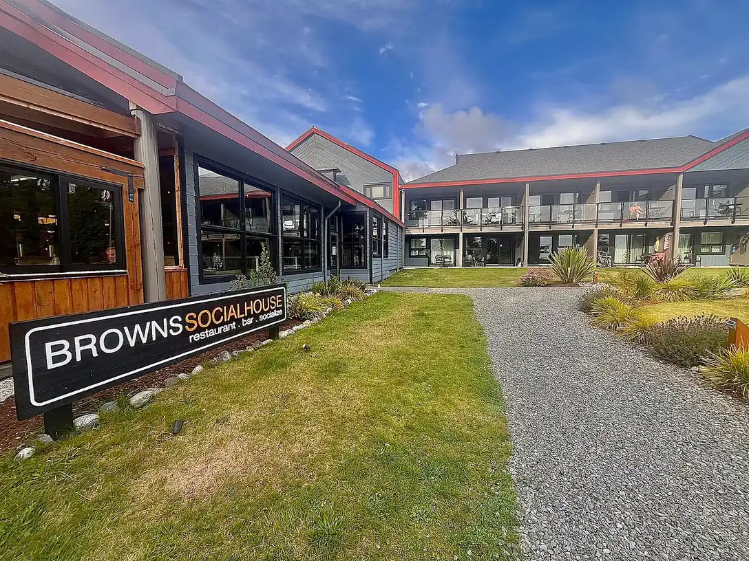
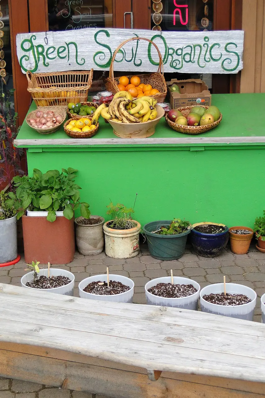
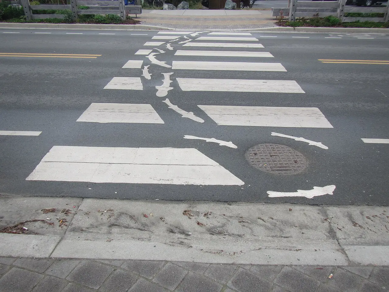
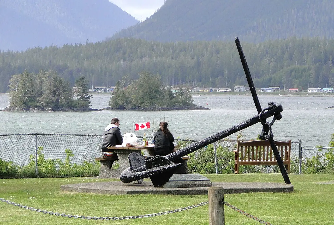
Two boat trips worth booking ahead
Two trips leave from Tofino Harbour that have nothing to do with the national park, and both need a reservation, not a walk-up.
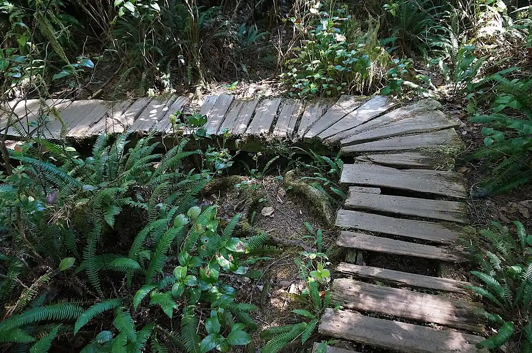
Hot Springs Cove sits inside Maquinna Marine Provincial Park, reachable only by boat or floatplane. Tour boats cover the roughly ninety-minute crossing, then a two-kilometre cedar boardwalk through old-growth forest gets you to a series of natural pools that step down into the ocean. Expect to pay somewhere in the range of C$250 to C$300, with the park and Ahousaht stewardship fees already built into that price, and expect the boat ride itself, through island channels where bears and otters turn up as often as whales, to be half the appeal.
Meares Island is the shorter trip: a roughly ten-minute water taxi or a longer kayak paddle across the harbour to the Big Tree Trail, a cedar-plank boardwalk through some of the oldest trees on this coast. This is also where Canada’s first Tribal Park began, declared here on 21 April 1984 by then-elected chief Moses Martin to stop a logging company from clear-cutting the old growth. You don’t need a tour to visit; a water taxi from the harbour and good shoes get you there on your own schedule.
Bears on the beach, and reading the tide
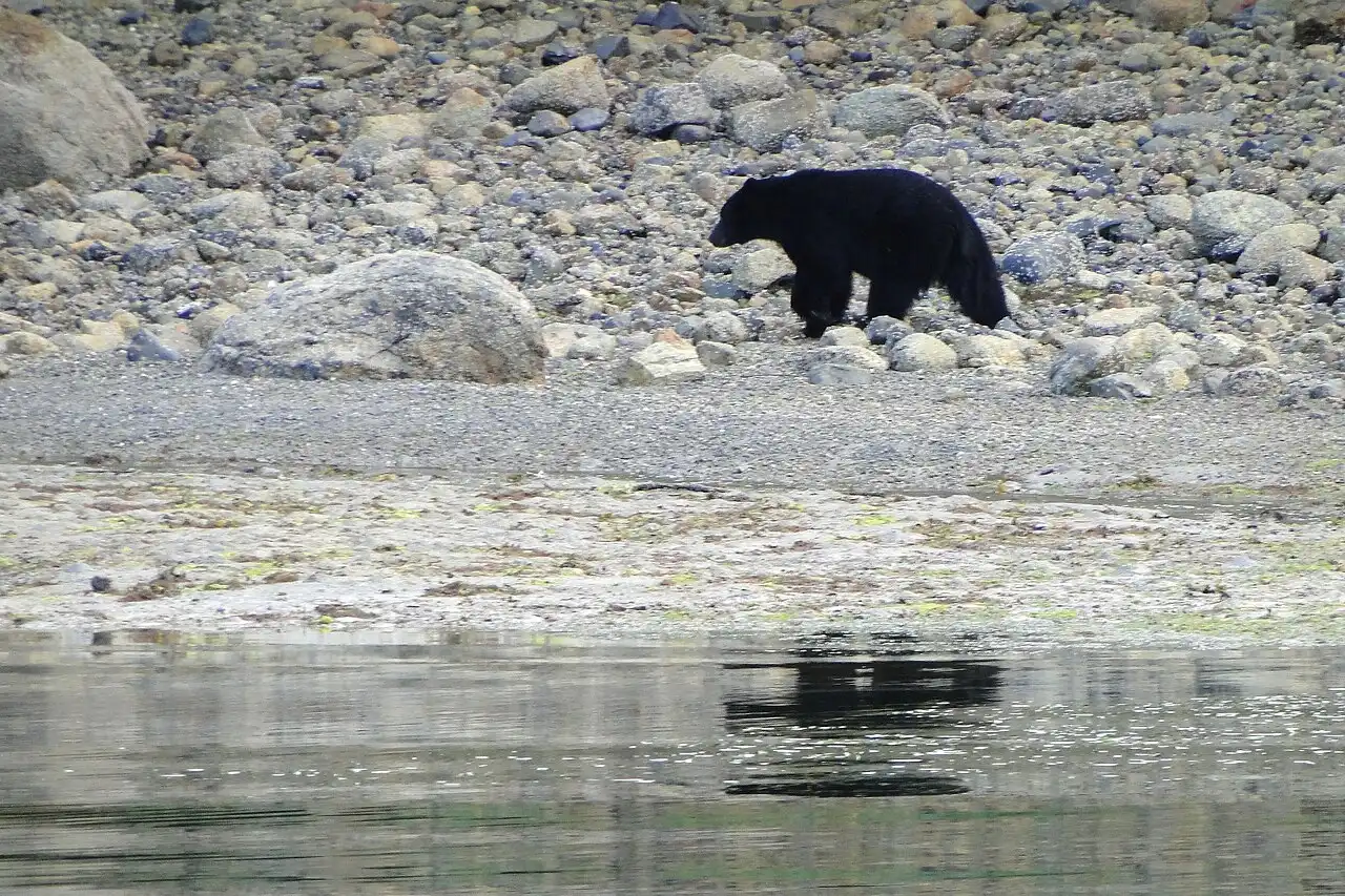
The one piece of local knowledge that changes how you use Tofino’s beaches: this coast’s black bears feed on the shoreline itself. As the tide drops, bears come out of the rainforest to flip rocks and dig for crabs and shellfish along the intertidal zone, which is why bear-watching tours here run by boat, timed to low water, rather than by hiking into the bush. If you’re walking a beach at low tide and see fresh tracks or a bear working the rocks, the answer is the same as anywhere else in bear country: keep your distance, don’t approach for a photo, and give it the beach.
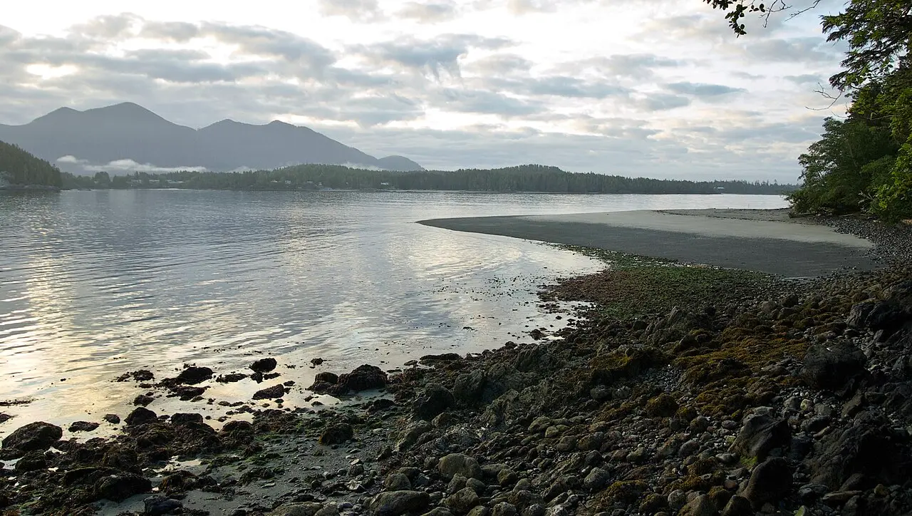
The tide itself is worth reading before you head out for any reason. This is a big-range coast, and sand that looks like a mile of open beach at low water can be gone at high tide, with channels and rocks you didn’t notice cutting off a walk back the way you came. Check a tide table before a long beach walk or a tidepooling trip, the way you’d check a trail map anywhere else.
Fitting Tofino into a bigger trip
Three nights is a realistic minimum: one day to arrive and settle in, one for the boat trip you booked ahead, and one to actually use the beach or the storm windows without an itinerary running your day. Most visitors reach Tofino as the far end of a longer Vancouver Island loop rather than a standalone trip, and our Vancouver Island in 7 days itinerary is built around exactly that route, starting in Victoria and finishing here. If whales are the draw rather than storms or surf, whale watching in Canada compares Tofino’s season and boats against the rest of the country. And whatever else is booked, check your entry requirements early: whether you need a visa or an eTA depends on your nationality, and our Canada eTA and visa guide has the current rules against the official government source. Get the road, the season and the room booked in that order, and the rest of Tofino takes care of itself.
On the map
The map loads on click - to keep the page lightweight.
The map didn’t load. Check your connection and refresh the page.
Admission and opening hours
- Admission price
- The village itself costs nothing to walk. A whale or bear boat tour runs roughly C$150-200 per adult; the Hot Springs Cove trip runs roughly C$250-300, with the park and Ahousaht stewardship fees already built into that price. Summer rooms fill up and cost the most of the year; book weeks ahead.
- Opening hours
- A year-round village. Surf season and the best weather run roughly June to September; storm-watching season runs roughly November to February, and the shoulder months of spring and fall are quieter and cheaper than either.
Tour prices are operator figures, checked against their own pages 20 August 2026, and change by season and by company - compare a few before you book.
Details checked: August 20, 2026
Read also

Cities · 11 min read
Regina: Legislature, RCMP Heritage Centre and Prairie Base
Verified · August 29, 2026Wascana Centre, the Legislature, the Mounties' only training depot and a free T. rex - what Regina actually rewards, plus the road to Saskatoon.

Cities · 10 min read
Whitehorse: Yukon Base for Aurora, Rivers and the Klondike
Verified · August 28, 2026Whitehorse in 2026: SS Klondike grounds open but boat closed, MacBride C$12, Beringia C$6, Miles Canyon and aurora season.

Cities · 9 min read
Things to Do in Saskatoon: River Valley, Wanuskewin & Skies
Verified · August 27, 2026Saskatoon in practice: Meewasin trails, Wanuskewin bison, Remai Modern by donation, and a prairie day trip to Riding Mountain.

Cities · 9 min read
Lunenburg: UNESCO Old Town Guide
Updated · September 2, 2026Old Town Lunenburg from Halifax: UNESCO grid of 1753, painted harbour, Fisheries Museum prices, Bluenose II, and when an overnight beats a day trip.