
Vancouver Island in 7 Days: Victoria to the Wild Coast
A 7-day Vancouver Island road trip from Victoria to Tofino: the ferry over, Highway 4 to the Pacific Rim, real distances, Butchart and whale season.
Seven days is the right length for Vancouver Island - you’ll cover the two things the island is actually about without rushing either. Base yourself in Victoria for two nights, drive north and cross the middle of the island on Highway 4, and give the wild Pacific coast around Tofino two or three nights before you head home. The whole loop is roughly 600 km of driving, and the single most important thing to grasp before you book is that a ferry, not a bridge, connects the island to the mainland - don’t forget it eats half a day each way.
That one fact undoes most first plans. People look at a map, see Victoria sitting just off Vancouver, and try to treat the island as a day trip or a quick overnight. It’s neither. Highway 4 to the coast is a single winding mountain road that has been known to close for weather or a rockslide, Tofino is a five-hour drive from Victoria before you stop for a single photo, and the good rooms on the coast sell out first in summer. Get the shape right and the island rewards you more than almost anywhere in the country; get it wrong and you’ll spend the week behind the windshield.
The week at a glance
| Day | Night | Driving | The day in a line |
|---|---|---|---|
| 1 | Victoria | ferry | Cross over, walk the Inner Harbour |
| 2 | Victoria | short | Butchart Gardens, whales, the harbour by night |
| 3 | Nanaimo or Parksville | ~110 km | North via the Cowichan Valley and Chemainus |
| 4 | Tofino | ~200 km | Highway 4: Coombs, Cathedral Grove, the coast |
| 5 | Tofino | short | Long Beach, the rainforest, the Pacific Rim |
| 6 | Tofino | ~80 km | Whales or Hot Springs Cove; Ucluelet |
| 7 | - | ~210 km | Drive back east, ferry home from Nanaimo |
The distances are rounded, and the two short days are deliberate. Victoria and Tofino both reward a slow morning more than a fourth thing crossed off a list - don’t pack either day.
Getting to the island, and which end to start
Start in Victoria either way you go. BC Ferries versus the Harbour Air floatplane is a full comparison of fares and sailing times on its own page, so there’s no need to re-run those tables here. What this itinerary actually needs from you is the booking window: reserve ahead for summer weekends and holiday Mondays, because a missed sailing eats straight into the two nights you’ve set aside for the city. Most overseas visitors land at Vancouver first, and the Canada Line from YVR gets you to the ferry bus or the floatplane dock without a taxi.
A car earns its keep on this trip, but not on day one. If you’re arriving as a foot passenger, pick the rental up in Victoria or at the airport when you’re ready to head north, because you’ll barely touch it in the compact capital.
Days 1 and 2: Victoria
Two nights, not one - that’s the booking rule. The full Victoria guide covers the Inner Harbour, Chinatown and both out-of-town draws in more depth than a seven-day itinerary has room for, and where to stay in Victoria sorts the neighbourhood question; what matters here is narrower. Leave the car at the hotel on arrival and don’t touch it again until day three.
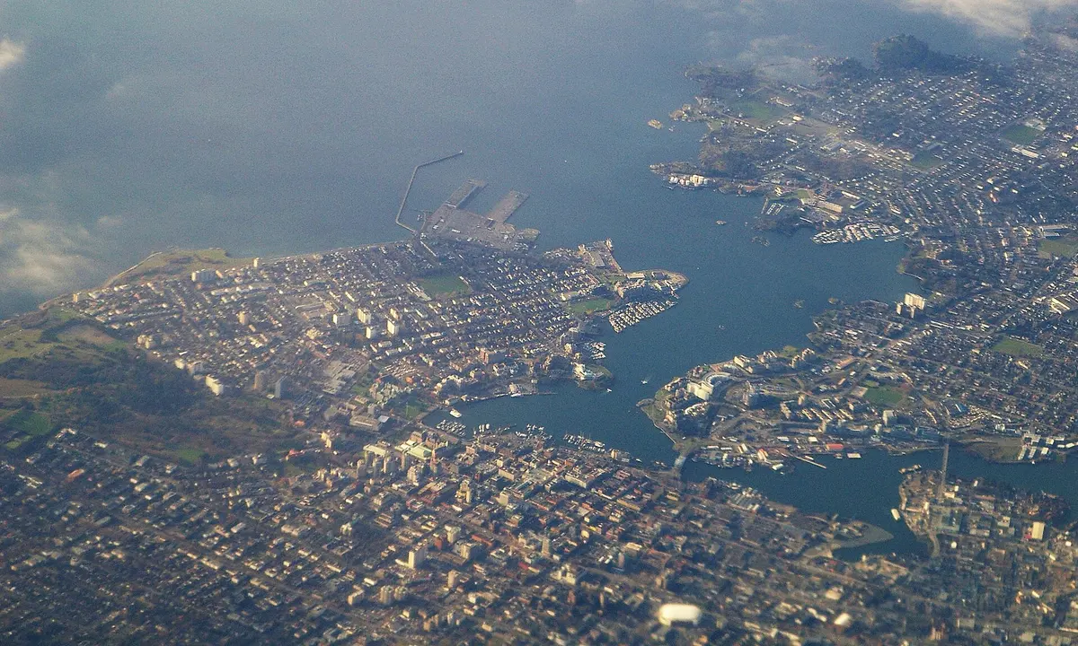
Split your one free afternoon and morning between the two out-of-town draws rather than squeezing both around the harbour sights. The Butchart Gardens suit the Day 2 afternoon, once the tour buses thin out, which leaves the morning free for a whale-watching sailing while the water’s calmer. Flip the order if your boat only sails in the afternoon, and keep the second evening loose for a slow walk around the lit-up harbourfront before the drive north begins.
Day 3: north through the Cowichan Valley
Day 3 is a driving day with a good excuse to stop, and it’s short enough to enjoy. Head north on Highway 1 out of Victoria and the pace drops almost at once into the Cowichan Valley, the island’s warm, green wine country around Duncan and Cowichan Bay. A tasting or a long lunch here’s a fine way to break the morning, as long as you’ve sorted out who’s driving.
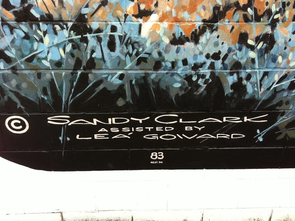
A little further on, Chemainus is worth the ten-minute detour off the highway. When the sawmill wound down in the early 1980s the town commissioned murals to pull in visitors, and it kept going; the old centre now carries dozens of them across its walls, an outdoor gallery you walk in twenty minutes. Push on to Nanaimo, the island’s second city and the hinge of this whole trip, and stop there or a little north at Parksville for the night. This is where Highway 1 hands you over to Highway 4 and the west coast in the morning.
Day 4: Highway 4 to the Pacific
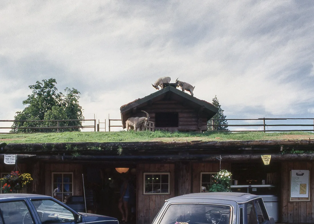
Day 4 is the crossing, and it’s the best driving day of the week. From Parksville, Highway 4 turns west and narrows, and the island changes character within the hour. Your first stop is early and daft in the best way: Coombs, where the Old Country Market keeps goats grazing on its grass roof through the summer. It’s a bakery, a market and a good early lunch, and yes, you do stand in the parking lot looking up at goats on a roof.
A few minutes on, the highway runs straight through Cathedral Grove in MacMillan Provincial Park, a stand of old-growth Douglas-fir so tall it goes dark under the canopy at midday. Some of these trees are hundreds of years old and among the biggest in the country, and the loops on either side of the road take twenty minutes each. The parking lots are small and busy, so pull in when you see a space rather than driving on for a better one.
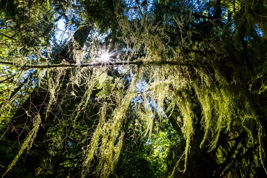
Beyond the grove the road climbs to a summit and drops into Port Alberni, the last real town before the coast, sitting at the head of a long inlet. Fill the tank and buy anything you might want, because the final stretch to Tofino is remote, winding and slow, with little in between. You reach the coast at the Ucluelet junction, and Tofino is another forty minutes north from there.
Day 5: Long Beach and the Pacific Rim
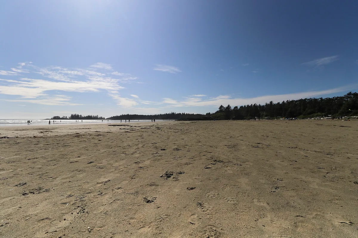
The Pacific Rim National Park Reserve is why you crossed the island, and its accessible heart is the Long Beach Unit, kilometres of open surf beach and old-growth rainforest strung along Highway 4 between the two towns. The beach walk at low tide, when the sand runs out for what feels like a mile, is the thing people remember, and the short rainforest boardwalks behind the dunes are the best thing to do on a wet, windy day. The surf here’s cold in every season, so this is wetsuit surfing whatever the month.
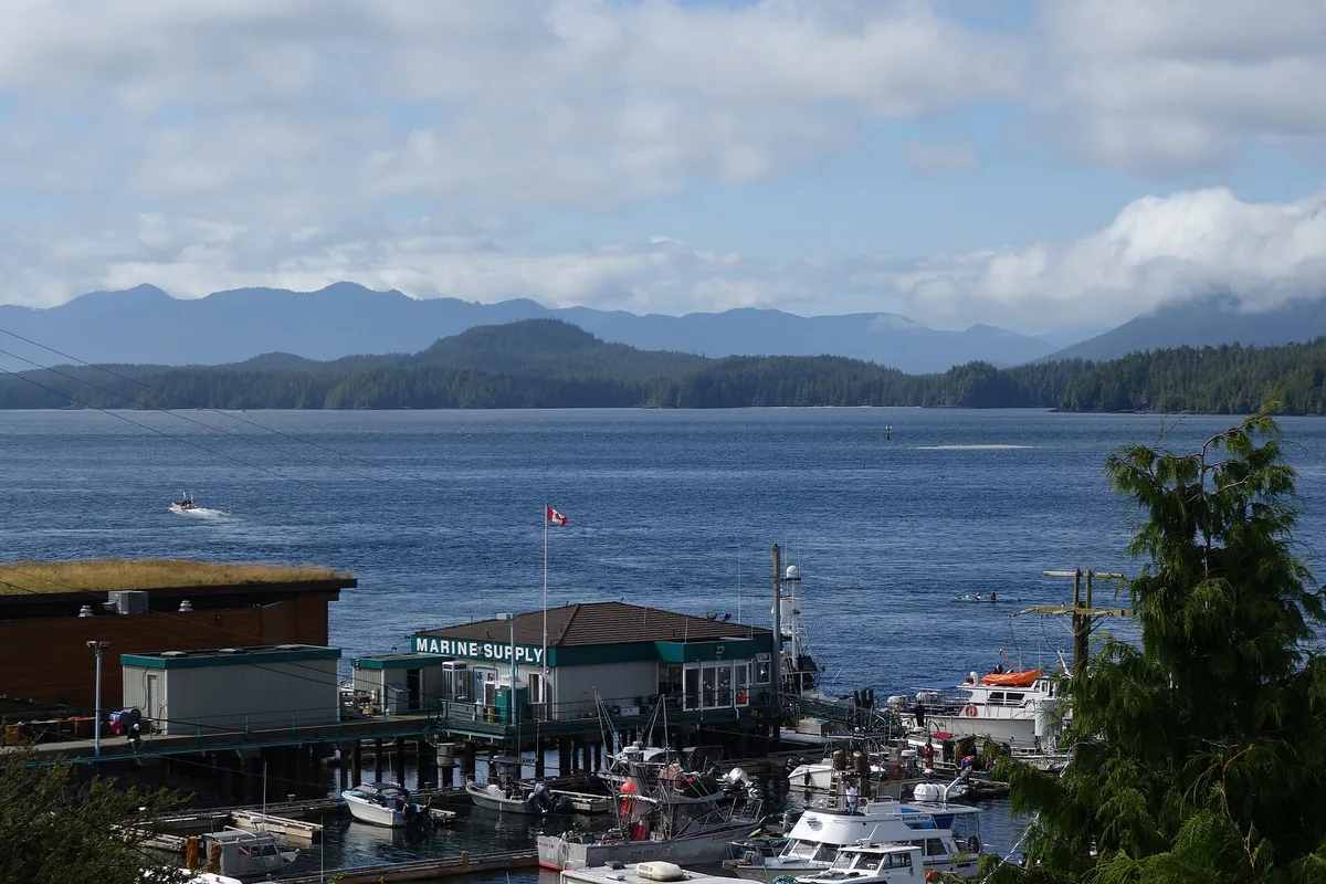
One thing worth naming so you don’t build a day around it: the West Coast Trail, the famous name on this coast, is a 75 km backpacking expedition walked over six to eight days on a permit, open only from May to September. It’s not a day hike from the road. Our full Pacific Rim guide breaks down the three very different units of the park and which one suits your trip. For a seven-day plan, the Long Beach Unit is the one you want.
Day 6: whales, hot springs and the quieter end
Day 6 is a Tofino day, and you have a genuine choice. Go out on the water for whale watching or a boat trip up to Hot Springs Cove, where you walk a boardwalk through rainforest to natural hot pools by the sea. Or trade the boats for the road and drive the forty minutes south to Ucluelet, the quieter, cheaper town at the other end of the coast, for the Wild Pacific Trail, a clifftop path over sea stacks and a lighthouse that Tofino can’t match. Our Tofino guide has the village-level detail this itinerary doesn’t: where to book a room, where to eat, and how to read the tide before a beach walk.
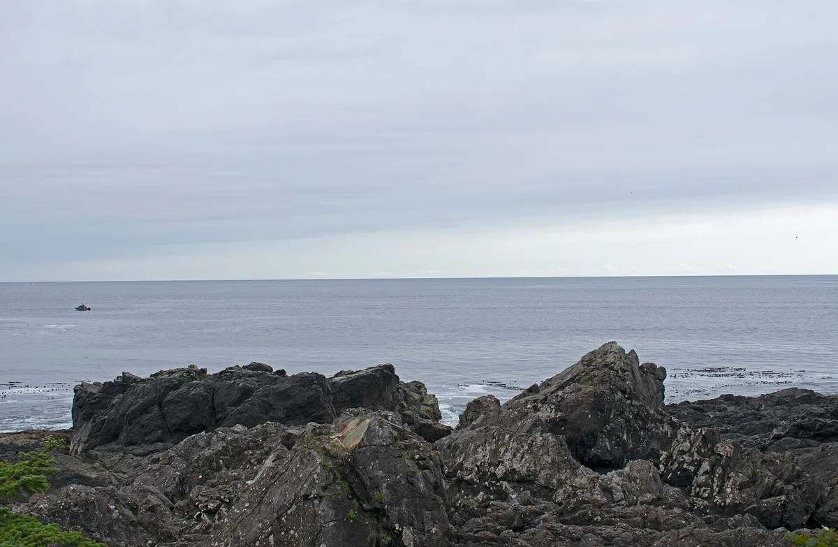
If your car has stayed parked all trip, this is the day it pays for itself - you’ll feel that on the coast. Sleeping in Tofino and driving down to Ucluelet, or the other way around, with Long Beach in between, is the natural rhythm of the coast, and the two towns are only about forty minutes apart.
Day 7: the drive home
There’s no shortcut back. You retrace Highway 4 east across the island, which is no hardship, because the light and the traffic are different in the other direction and you catch pull-outs you drove past on the way in. From Nanaimo you can take the BC Ferries run from Departure Bay to Horseshoe Bay, which lands you north of Vancouver and saves doubling back to Swartz Bay; the alternative is to drive south to Victoria and cross from Swartz Bay again. Either way, leave early and build in terminal time - don’t count on a late sailing saving you.
Shorter and longer versions
Five days works if you cut a night: one night in Victoria instead of two, straight across to the coast, two nights in Tofino, and home. You’ll keep the spine of the trip but lose the slow harbour morning and the Cowichan detour. Ten days is where the island opens up: add the drive up-island to Campbell River and the wildlife around Telegraph Cove, or a couple of nights on the Southern Gulf Islands on the way over. This is the canonical Vancouver Island road trip on this site, so treat any three or five-day plan as this route trimmed rather than a different trip.
When to drive it
July and August are the warmest and busiest, when Tofino rooms, the ferries and the whale tours all sell out first, so book them before the flights - don’t wait. May, June and September are the smart months: the coast is quieter and cheaper, the water is cold either way, and the rainforest is at its greenest. Winter is a different trip entirely, aimed at storm-watching on the Long Beach coast from November to February, with the surf beaches swapped for a lodge, a fire and the sea turning grey and violent behind the glass.
Whatever the month, this is a drive that wants a relaxed car and a full tank, so read up on renting a car in Canada before you fly in, and remember that entry to Canada depends on your nationality, so check the current eTA and visa rules against the official government source before you book.
Read also
- The capital at the start of the route: Victoria travel guide
- The wild coast at the end of it: Pacific Rim National Park
- The wider province, ferries and fares: British Columbia travel guide
- The classic mainland add-on: Whistler travel guide
- The car, the winter tires and the drop fees: renting a car in Canada
Route day by day
- Days on the road
- 7
- Distance
- ≈600 km
- Budget from
- 1100 CAD
- Best season
- May, June, July, August, September
The route at a glance
-
Victoria Inner Harbour
Route startstop ≈0 min
The base for the first two nights, and where the trip really starts. Arrive by ferry to Swartz Bay or by floatplane straight into the harbour, then leave the parking loted and walk.
Photo: Ron Reiring · CC BY 2.0 · Wikimedia Commons ( source) -
The Butchart Gardens
23 km from the startstop ≈180 min
A worked-out limestone quarry turned into the most-visited sight on the island, about 25 minutes north of downtown. Drive, take the number 75 bus, or join a tour. Summer 2026 adult entry is C$44.25, tax included.
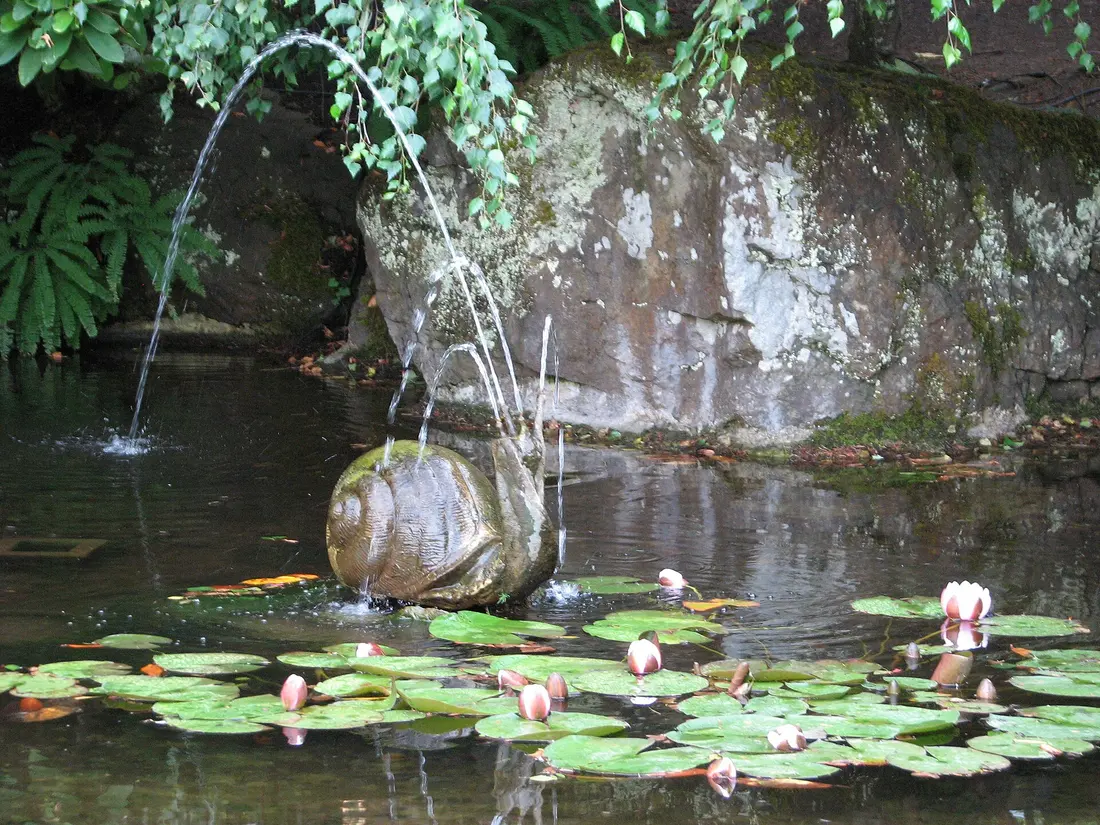
Photo: Nadine Pavlov · CC BY-SA 4.0 · Wikimedia Commons ( source) -
Chemainus
78 km from the startstop ≈60 min
A former mill town that painted its way out of a slump: dozens of large outdoor murals cover the walls of the old centre. A ten-minute leg-stretch off the highway on the drive north.
Photo: Doug Hay · CC BY 2.0 · Wikimedia Commons ( source) -
Nanaimo
110 km from the startstop ≈45 min
The island's second city and the hinge of the trip: this is where you leave Highway 1 for Highway 4 and the west coast. Its own ferry terminals link back to the mainland at Horseshoe Bay for the drive home.
Photo: Darren Kirby · CC BY-SA 2.0 · Wikimedia Commons ( source) -
Coombs Old Country Market
150 km from the startstop ≈45 min
The one where goats graze on the grass roof through the summer. A market, a bakery and an early lunch stop just after you turn onto Highway 4. The goats are seasonal, so no promises out of season.
Photo: Giorgio Galeotti · CC BY-SA 4.0 · Wikimedia Commons ( source) -
Cathedral Grove (MacMillan Provincial Park)
166 km from the startstop ≈60 min
Highway 4 runs straight through a stand of old-growth Douglas-fir, some of the tallest and oldest trees in Canada. Free, and a short loop on either side of the road. The small parking lots fill fast in summer.
Photo: Darren Kirby · CC BY-SA 2.0 · Wikimedia Commons ( source) -
Port Alberni
190 km from the startstop ≈30 min
The last real town before the coast, at the head of a long inlet in the middle of the island. Fuel up and grab supplies here; the run to Tofino from this point is winding, remote and worth taking slowly.
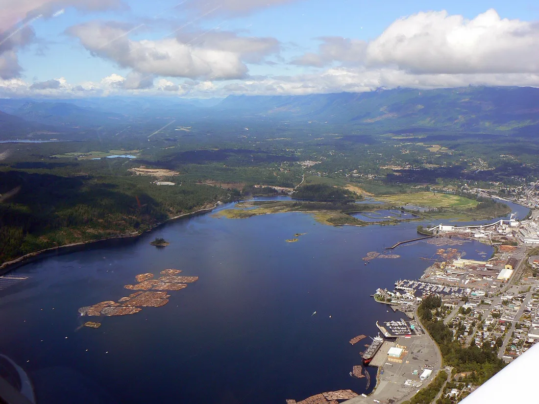
Photo: Kevstan · CC BY-SA 3.0 · Wikimedia Commons ( source) -
Ucluelet and the Wild Pacific Trail
295 km from the startstop ≈120 min
The quieter, cheaper gateway town at the south end of the coast, with a clifftop path over the sea stacks that Tofino cannot match. You reach this junction first coming in on Highway 4.
Photo: Ymblanter · CC BY-SA 4.0 · Wikimedia Commons ( source) -
Long Beach (Pacific Rim National Park Reserve)
305 km from the startstop ≈240 min
Kilometres of open surf beach and old-growth rainforest boardwalks between the two towns, off Highway 4 and open year-round. Cold-water surf in summer, storm-watching from November to February.
Photo: Buiobuione · CC BY-SA 4.0 · Wikimedia Commons ( source) -
Tofino
318 km from the startstop ≈0 min
The end of the road and the base for the last two nights: surf schools, whale and bear tours, boats out to Hot Springs Cove and a food scene far bigger than the town. Book a room early in summer.
Photo: Schwarzenfelder · CC BY-SA 4.0 · Wikimedia Commons ( source)
Route map
The map with stops loads on click - to keep the page lightweight.
The map didn’t load. Check your connection and refresh the page.