
Pacific Rim National Park: Surf, Storms and Trails
Pacific Rim National Park Reserve on Vancouver Island: Long Beach and Tofino surf, winter storm-watching, the West Coast Trail, and picking your base.
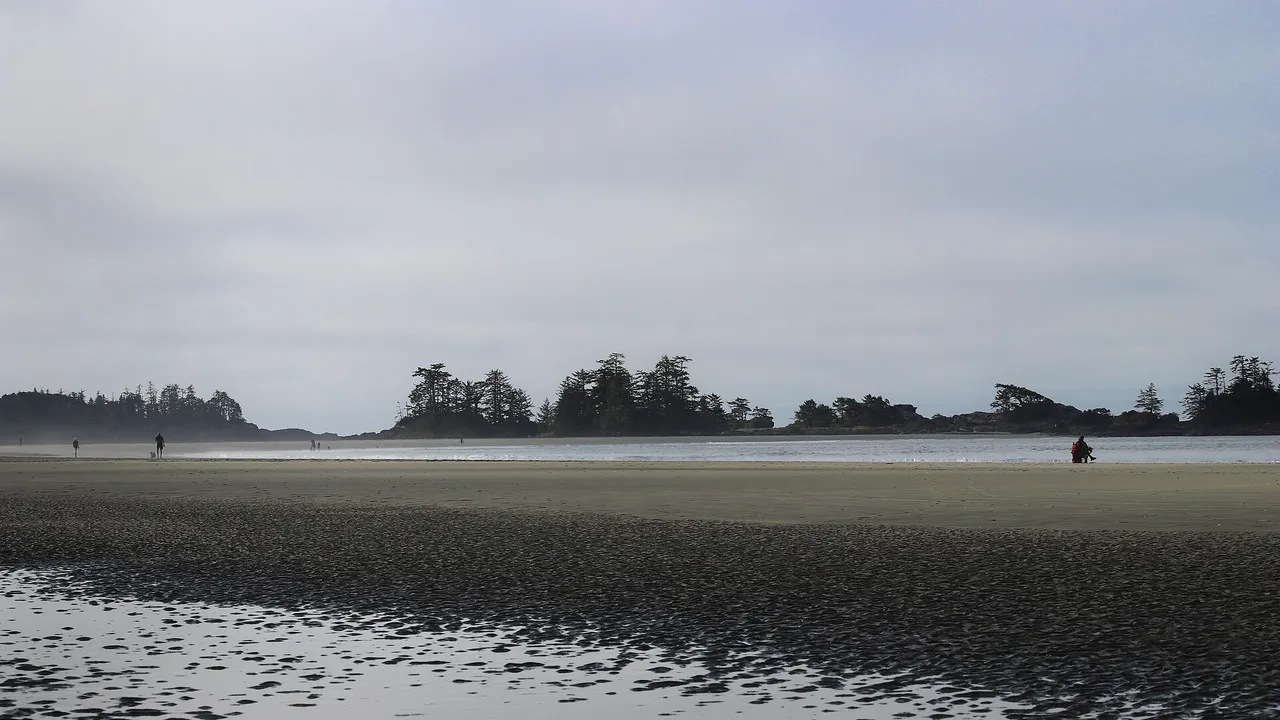
Pacific Rim National Park Reserve is a wild strip of Vancouver Island’s west coast, and the honest way to picture it’s as one park with three separate faces and two opposite seasons. Come in summer for Long Beach, the surf and the rainforest; come in winter, on purpose, for the storms; and understand that the West Coast Trail is a serious multi-day backpacking expedition, not a day walk. Tofino and Ucluelet are the two gateway towns, and which one you pick shapes the whole trip.
Most people just search “Tofino” and never quite register that they’re visiting a national park reserve at all. That’s fine for a beach weekend, but it misses what makes this coast unusual: the same beach that’s warm and gold in July gets hammered in December by storms that Tourism Tofino says can send waves rolling in at up to 20 feet, and people pay good money to sit in a lodge and watch. Sort out the season and the unit before you book, because the wrong pairing means a three-hour drive for a trip you didn’t want.
One park, three very different units
The word “Pacific Rim” hides the fact that the reserve is really three places that barely touch, each suited to a different kind of traveller.
The Long Beach Unit is the one almost everyone means. It’s the accessible strip between Tofino and Ucluelet, off Highway 4, with kilometres of open surf beach, the Kwisitis Visitor Centre at Wickaninnish, rainforest walks and the drive-in Green Point Campground. It’s open year-round, and it’s where a first visit, a family trip or a surf weekend belongs.
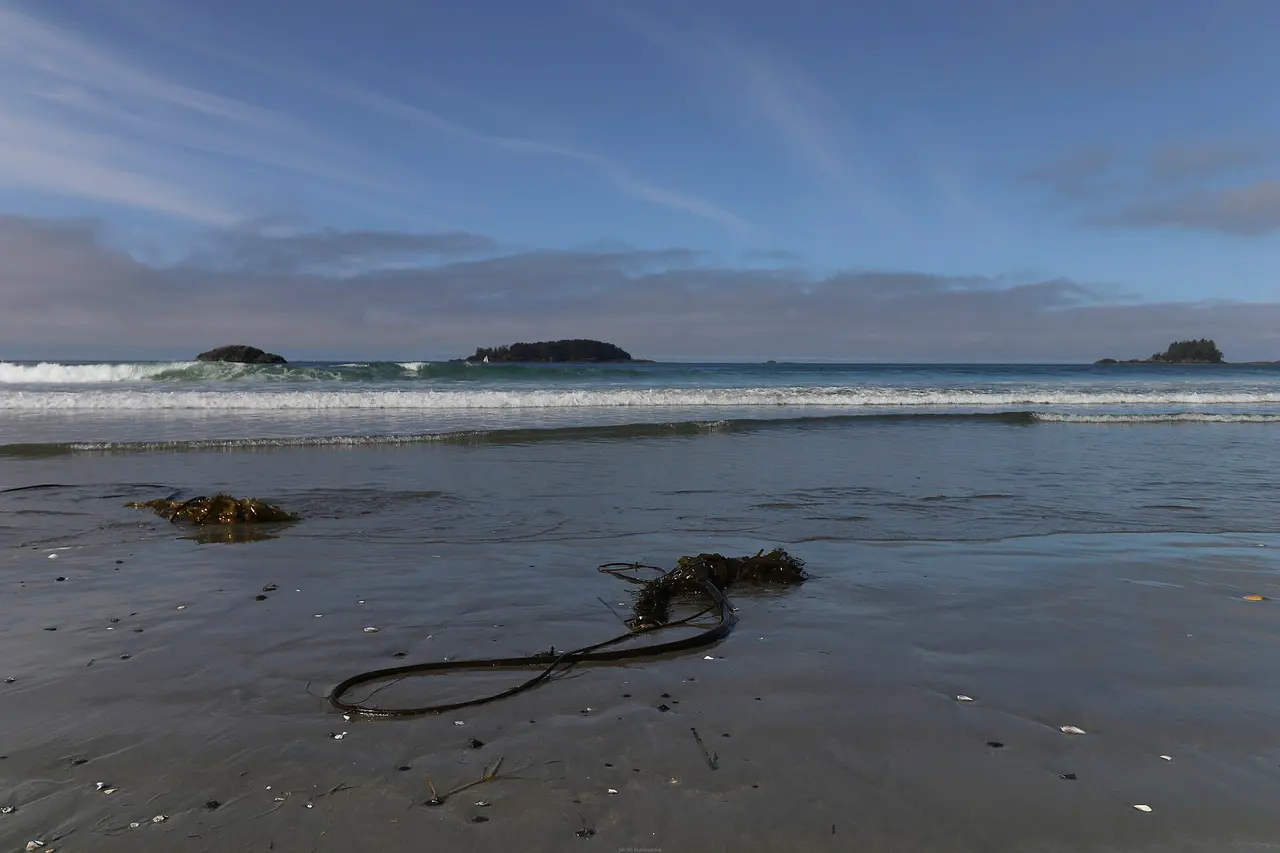
The Broken Group Islands are the opposite: an archipelago scattered across Barkley Sound, reachable only by water. There’s no road, no drive-in campground and no day-tripping. This is a self-sufficient sea-kayaking destination for people who can read tides and pack for a wilderness paddle, and it stays quiet precisely because you can’t drive to it.
The West Coast Trail is the third unit and the one that catches people out, so it gets its own section below. The short version: 75 km on foot, six to eight days, permit only, summer only, and genuinely hard.
Long Beach, the surf and the rainforest
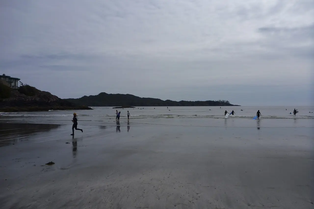
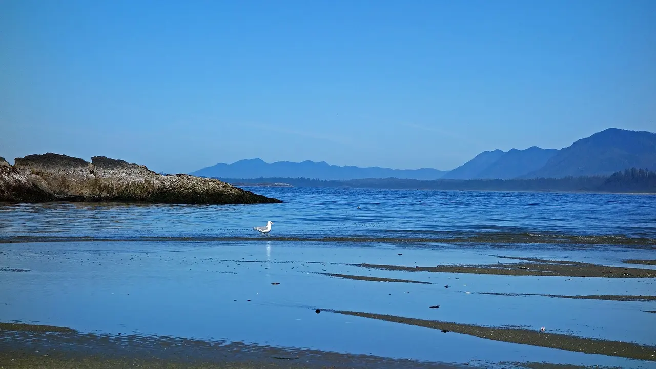
Long Beach is what made Tofino “Canada’s surf town”, and the surf is the honest reason to come in summer. The beach break works for beginners in the shoulder of the day and the water is busy with wetsuited surf schools; the point to remember is that the Pacific here’s cold all year, so this is neoprene surfing, not board shorts. Even if you never get on a board, the beach walk at low tide, when the sand goes on for what feels like a mile out, is the thing people remember.
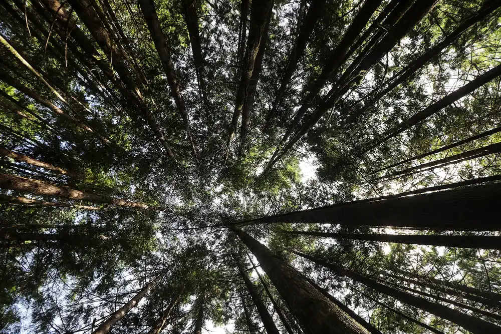
Behind the sand is the second half of the park that most people skip, and shouldn’t. The Rainforest Trail and the boardwalk loops push into old-growth temperate rainforest, the tall, dripping, moss-heavy kind that grows on this coast and almost nowhere else. They’re short, an hour or so, and they’re the antidote to a windy beach afternoon. The Kwisitis Visitor Centre at Wickaninnish is where to get your bearings and read the Nuu-chah-nulth story of this coast, which is older than the park by thousands of years.
Come in winter on purpose: storm-watching
This is the part outsiders find strange and locals built a whole off-season around. From roughly early November to late February, and hardest from mid-November to mid-January, the exposed coast takes storm after storm off the open Pacific. Tourism Tofino describes waves at spots like Cox Bay rolling in at up to 20 feet, roughly 6 metres. Treat that as a tourism-board figure rather than measured park data, but the effect is real: the sea turns grey and violent and enormous, and it’s genuinely a spectacle.
The counter-intuitive move is that this is peak season for the good lodges, not the dead season. Places like the Wickaninnish Inn and Long Beach Lodge sell winter packages built entirely around watching weather from behind glass with a fire going, and the wildest days are the point rather than the ruin of the trip. If you go, bring proper waterproofs and respect the water: this coast has strong currents and cold surf, sneaker waves run up the sand without warning, and standing too close for a photo is how people get into trouble. Watch the storm; don’t try to join it.
The West Coast Trail, honestly
The West Coast Trail is where the gap between the brochure and the reality is widest, so here it’s plainly. It’s a 75 km (about 50 mi) backpacking route along the coast, walked in six to eight days, and it’s one of the toughest and most rewarding long trails in North America. Ladders, cable cars over rivers, tidal shelves you time against the sea, deep mud, boardwalk, beach and two ferry crossings inside the route: it’s a full-body expedition for people who already know how to carry a heavy pack for a week in the rain. It’s not a day hike and not a there-and-back stroll from the road.
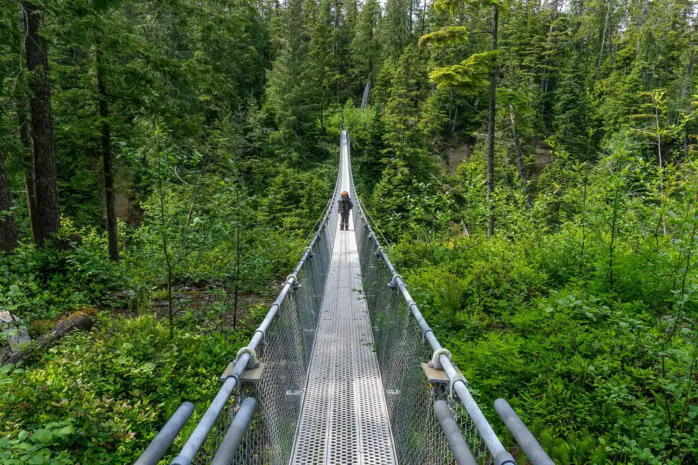
The logistics are strict for good reasons. The trail is open only from 1 May to 30 September; outside that window it’s not maintained or patrolled and is dangerous. Every hiker needs a Parks Canada reservation and permit, and there are no walk-up spots; Parks Canada caps the daily numbers, in the order of 75 people a day, and splits them between the two ends, Gordon River near Port Renfrew and Pachena Bay near Bamfield. Reservations for the 2026 season opened on 5 February 2026, and the good dates go quickly. Because the opening date, the daily quota and the fees are reset every year, treat any number you read, including this one, as a prompt to check parks.canada.ca yourself before you plan. A week this remote is also the clearest case on the whole trip for proper travel insurance that covers backcountry evacuation.
Tofino or Ucluelet: picking a base
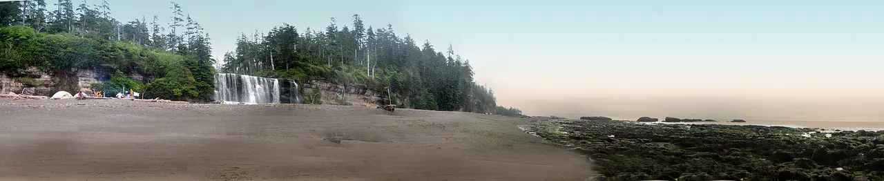
The two towns sit at opposite ends of the Long Beach Unit, and they are not interchangeable. Tofino, at the north end, is the busier, pricier, better-known one: the surf schools, the whale and bear tours, the boat and floatplane trips out to Hot Springs Cove, and a food scene that punches far above the size of the town. If your trip is about surfing, going out on the water and eating well, Tofino is your base and you should book it early in summer - our Tofino guide covers the village itself: where to sleep, where to eat and how the road in actually works. The grey whale migration that fills the town every March, and what a boat here costs against the other Canadian coasts, is in whale watching in Canada.
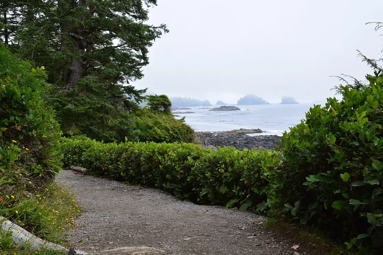
Ucluelet, at the south end, is the quieter, cheaper, more lived-in choice, and it has one thing Tofino can’t match: the Wild Pacific Trail, a cliff-top path that traces the rocky headlands over the sea stacks and the lighthouse. It’s a working town rather than a resort, closer to the highway junction, and it suits travellers who want the coast without the crowds and the prices. A neat compromise, if you have a car, is to sleep in Ucluelet and drive up to Tofino for the day, since the two are only about forty minutes apart with Long Beach in between.
Getting there and when to go
Everything comes in on Highway 4, the single winding, mountainous road across the middle of Vancouver Island. From the Nanaimo ferry terminals it’s roughly a three-hour drive to Long Beach, and the road has been known to close for repairs or weather, so check its status before a tight connection; the ferry crossings from the mainland are covered in our British Columbia travel guide. This is a drive that wants a car, and a relaxed one, so read up on renting a car in Canada if you’re flying in. Many people fold the park into a wider island trip, arriving via Victoria at the south end of the island or coming across from Vancouver on the mainland.
Season is the first decision, not an afterthought. Summer, roughly June to September, is beach, surf and rainforest weather and the only window for the West Coast Trail, and it’s also when Tofino is fullest and dearest. Winter is storm season, wet and wild and aimed at the lodges. Spring and autumn are the honest sweet spots for a quiet beach trip with lower prices, as long as you accept that this is a rainforest coast and pack for rain in any month. Parks Canada admission was free across the country from 19 June to 7 September 2026 under the Canada Strong Pass and is charged again from 8 September 2026, with the fine print in the British Columbia guide.
Which unit is your trip
Because the three units suit such different people, the cleanest way to plan is to pick the traveller you’re and let that choose the unit, the season and the base.
| You’re | Go to | Season | The reality |
|---|---|---|---|
| A first-timer, family or surfer | Long Beach Unit | Year-round | Easy access off Highway 4; base in Tofino or Ucluelet |
| A sea kayaker or wilderness paddler | Broken Group Islands | Summer | Water access only, fully self-sufficient |
| A serious backpacker | West Coast Trail | 1 May to 30 Sept | 75 km, 6 to 8 days, permit and reservation, tough |
| A winter traveller | Long Beach, for the storms | Roughly Nov to Feb | Big surf and storm lodges; peaks mid-Nov to mid-Jan |
The storm calendar is worth holding onto if the weather is the draw. The season runs from about early November to late February; it builds through November, peaks from mid-November to mid-January when the biggest systems roll in, and eases through February. Book the lodge for that mid-window, bring waterproofs, and remember that entry into Canada depends on your nationality, so check the eTA and visa rules before you fly. One park, three faces, two seasons: get the match right and Pacific Rim is one of the best coasts in the country.
On the map
The map loads on click - to keep the page lightweight.
The map didn’t load. Check your connection and refresh the page.
Read also

National parks · 11 min read
Point Pelee: Birding, Monarchs and Canada's Southern Tip
Verified · August 29, 2026Point Pelee in practice: the shuttle to the Tip, monarch season timing, Festival of Birds dates, 2026 fees, and why free admission ended before the peak.

National parks · 8 min read
Kluane: Icefields, Flightseeing and Mount Logan
Verified · August 28, 2026Kluane National Park 2026: Kathleen Lake trails, C$30 camping, Rocking Star flights from C$250, and Mount Logan at 5,959 m.

National parks · 7 min read
Riding Mountain National Park: Bison, Clear Lake & Highlands
Verified · August 27, 2026Riding Mountain in 2026: Lake Audy bison from your car, Clear Lake beaches, Wasagaming camping fees and the drive from Winnipeg.

National parks · 8 min read
La Mauricie National Park 2026: Parkway, Lakes & Camping
Verified · August 26, 2026La Mauricie NP: two hours from Montreal or Quebec City. 2026 gate C$10, 64 km Parkway, camping from C$33.75, Navette Nature shuttles.