Canadian Rockies in 7 Days: Calgary to Jasper
A seven-day Calgary to Jasper road trip through Banff and Jasper: distances, park fees, the Moraine Lake shuttle and what is open in 2026.
Seven days is enough to drive the Canadian Rockies properly - you’ll want Calgary to Banff to Jasper one way up the mountains, and stop trying to sleep in the same town every night. The loop runs close to 1,000 km: two nights near Banff, two in Jasper, a full day on the Icefields Parkway between them, and the long drive south to Calgary at the end. Fly into Calgary International, pick the car up on the way out of the city, and you never double back on a road you’ve already seen.
One thing separates a current Rockies plan from a copied one. Jasper is still rebuilding after the 2024 wildfire, and two of the sites almost every older itinerary sends you to, Maligne Canyon and Mount Edith Cavell, are closed for the whole 2026 season. This route uses what Parks Canada actually lists as open on the day it was written, and the closures page is worth a last read before you go, because it changes through the summer.
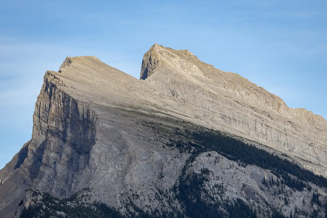
The week at a glance
| Day | Night | Driving | The day in a line |
|---|---|---|---|
| 1 | Banff or Canmore | 140 km | Land at Calgary, drive west, Vermilion Lakes at dusk |
| 2 | Banff or Canmore | short | Sulphur Mountain, the town, Lake Minnewanka, the hot springs |
| 3 | Lake Louise or Banff | ~90 km | Bow Valley Parkway, Johnston Canyon, the Lake Louise shuttle |
| 4 | Jasper | 232 km | The Icefields Parkway, all of it, all day |
| 5 | Jasper | short | Pyramid and Patricia lakes, Valley of the Five Lakes, town |
| 6 | Jasper | ~100 km | Maligne Lake, or cross into Yoho for Emerald Lake |
| 7 | - | 404 km | Jasper back to Calgary (or 370 km to Edmonton) |
The distances are rounded, and the two short days are deliberate: Banff and Jasper both reward a slow morning more than a fourth waterfall - don’t pack either day.
Which way to drive it, and the one thing to book first
Drive north - that’s the call. Banff to Jasper puts the big glaciers ahead of you through the windshield instead of in the mirror, and front-loads the busiest, most booked part of the trip while you’re fresh. The one argument for going the other way, afternoon light above Bow Lake, you get on the return leg anyway.
The one reservation that shapes the whole week is the Banff shuttle to Lake Louise and Moraine Lake. Moraine Lake Road has been closed to private cars year-round since 2023, so the lake is reached by shuttle, licensed tour, bike or a room at the lodge, full stop. Parks Canada releases 40% of shuttle seats on a fixed spring date and holds the other 60% until 8 am Mountain time two days before departure. If the April scramble passed you by, that two-day window is your real shot, not a resale site. Book the car and a Jasper room in the same sitting - you won’t find last-minute beds easy while the town rebuilds.
What the week costs
Individual daily admission is charged per person at C$12.25 an adult. The separate C$24.50 family/group daily rate covers up to seven people arriving together in one vehicle, and admission is free for anyone 17 and under. Over seven days the math tips - here’s why: the annual family Discovery Pass at C$167.50 costs less than seven family day passes at C$171.50, and it also covers Jasper, Yoho and Kootenay if you stray into them.
Then there was the 2026 break. Under the Canada Strong Pass, admission to every Parks Canada place was free from 19 June to 7 September 2026 - no app, no registration; from 8 September 2026 the daily rates above apply again. It left plenty on the bill, though: parking at Lake Louise, camping reservation fees, the Banff and Miette hot springs, and any guided tour were billed as normal.
One provincial pass ambushes drivers on the way out of Calgary - don’t get caught. The mountains you cross before the park gate, Kananaskis and the Bow Valley corridor, are provincial land where a Parks Canada pass is worthless: parking there needs an Alberta Kananaskis Conservation Pass at C$15 a day, rentals included. As a rough per-person guideline, a camping-and-hostel version of this week lands near C$900; hotels and restaurants push it closer to C$1,500.
Day 1 - Calgary to Banff (140 km, 90 minutes)
Collect the car at Calgary International rather than downtown, and you skip two nights of city hotel parking. The drive west on the Trans-Canada is 140 km of flat prairie that tilts into foothills and then, quite suddenly, into the front ranges of the Rockies.
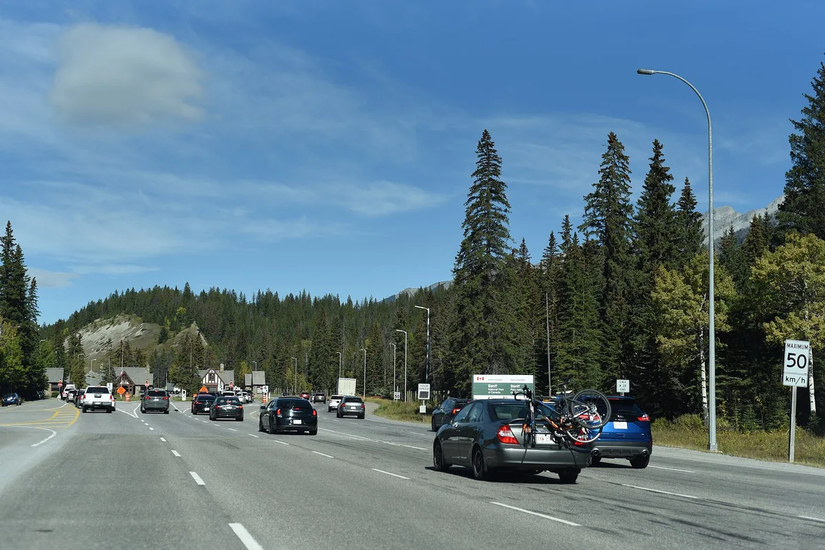
Check in, drop the bags, and give the first evening to Vermilion Lakes, a dead-end road along three shallow lakes 4 km from Banff Avenue. It’s free, it needs no shuttle, and at dusk Mount Rundle turns pink in the water. It’s the cheapest good decision in the park and a gentle way to shake off a flight.
Day 2 - Banff, the mountain over the town
Give Day 2 to Banff itself. Sulphur Mountain is the anchor - don’t skip the summit boardwalk: a gondola or a steep switchback trail to a summit boardwalk with the whole Bow Valley laid out below, and the Banff Upper Hot Springs at the base of the same road for afterwards. Neither the gondola nor the springs is covered by a park pass, and neither was part of the 2026 free-admission window, so budget for them separately.
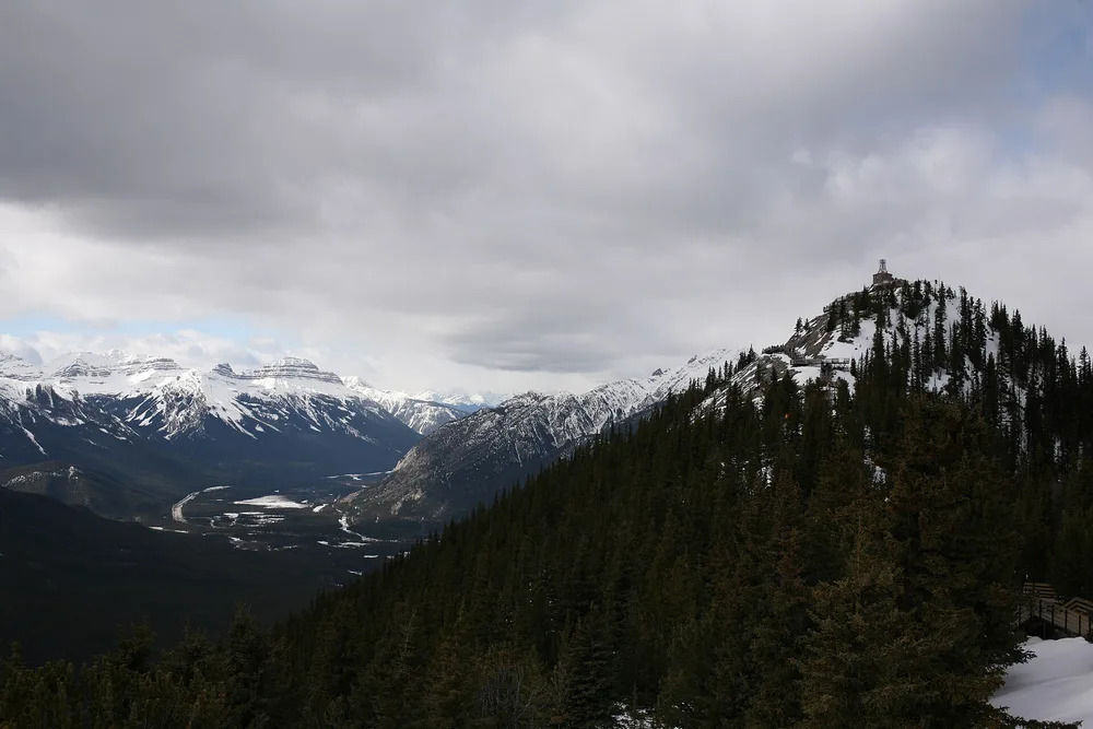
With the afternoon left, Lake Minnewanka is fifteen minutes from town, the largest lake in the park, with a loop road past Two Jack Lake and a boat cruise if the legs have had enough. In the townsite itself, park once and walk; you’ll regret moving a car around Banff on a summer afternoon.
Day 3 - The Bow Valley Parkway to Lake Louise
Don’t take the Trans-Canada to Lake Louise. Run the old parallel road, the Bow Valley Parkway (Highway 1A): slower, quieter and far better for wildlife. Its eastern 17 km, Fireside Picnic Area to Johnston Canyon Campground, shuts to all travel from 8pm to 8am between 1 March and 25 June - not just to cars - and a cycling pilot extended through 2030 hands that same stretch to bikes in daylight too, 8am to 8pm, from 30 April to 25 June and again from 1 September to 6 October. Neither window is the height of summer, so check your dates rather than assuming July and August are the closed months. Either way you reach the day’s first stop, Johnston Canyon, from Castle Junction on the highway.
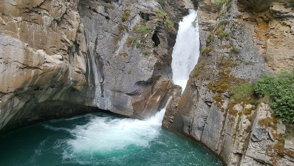
If the lot is already full when you arrive, our Johnston Canyon guide covers the Roam Route 9 shuttle from Banff as the actual fix, plus the trail distances to the Ink Pots and what the Bow Valley Parkway closure does and doesn’t block.
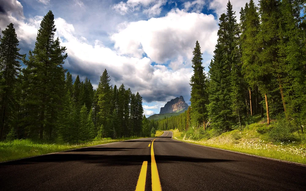
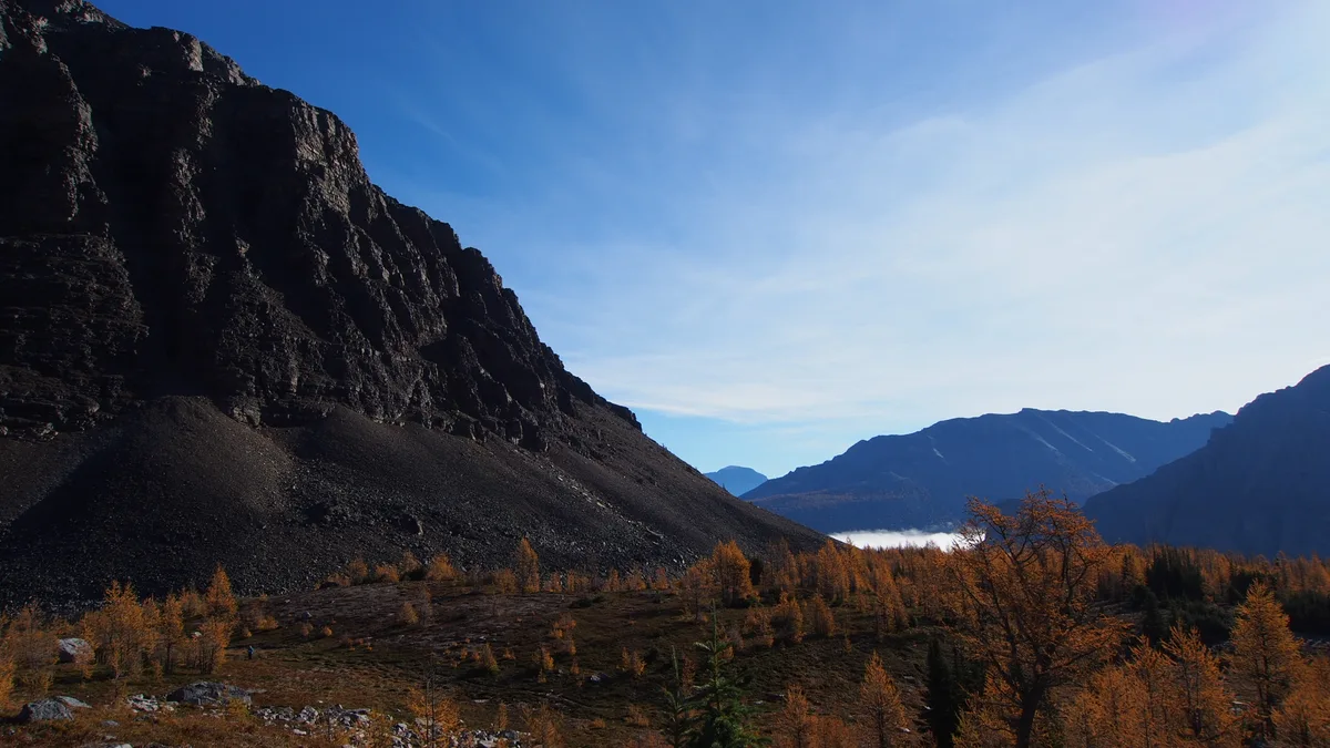
Back on the parkway, Castle Mountain is a roadside pull-out worth two minutes, a long battlement of cliffs that catches the late light. Then the day’s main event: the shuttle up to Lake Louise and Moraine Lake. One reservation covers both, so go Moraine early, Lake Louise late morning, and back down when you’ve had enough. In the last week of September the larches above Moraine turn gold, the best week to be here and the hardest to get a seat. Seat windows, the C$42 parking trap and the trails that earn the climb are in the Lake Louise guide.
If you’ve not sorted a bed yet, our guide to where to stay in Banff weighs the townsite against Canmore and Lake Louise, which matters most on this night.
Day 4 - The Icefields Parkway to Jasper (232 km)
Day 4 is one road, and it deserves the whole day. The Icefields Parkway runs 232 km from the Lake Louise junction to Jasper past Bow Lake, Peyto Lake, the Columbia Icefield and a run of waterfalls, and Parks Canada’s own advice is to give yourself a full day to drive it one way. Three hours is the driving time, not the plan.
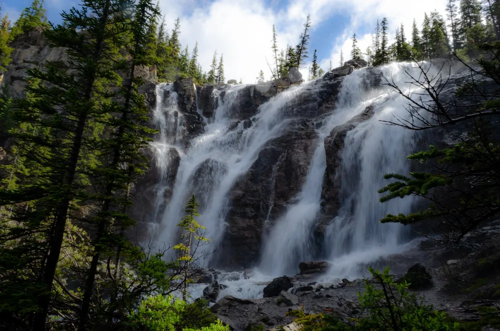
Two practical rules keep the day easy. Fill the tank at Lake Louise, because there’s one seasonal fuel stop on the whole route and nothing in winter. And don’t count on a phone signal: coverage exists at each end of the parkway and nowhere in the middle, so download an offline map first. Our stop-by-stop guide to the Icefields Parkway covers each pull-out in order.
Day 5 - Jasper, the lakes above town
Jasper is quieter and wilder than Banff, and the fire recovery is part of the story now rather than a footnote. What’s closed for 2026 is worth naming so you don’t build a morning around it: Maligne Canyon and the Cavell Road to Mount Edith Cavell are both shut for the season. What’s open is plenty.
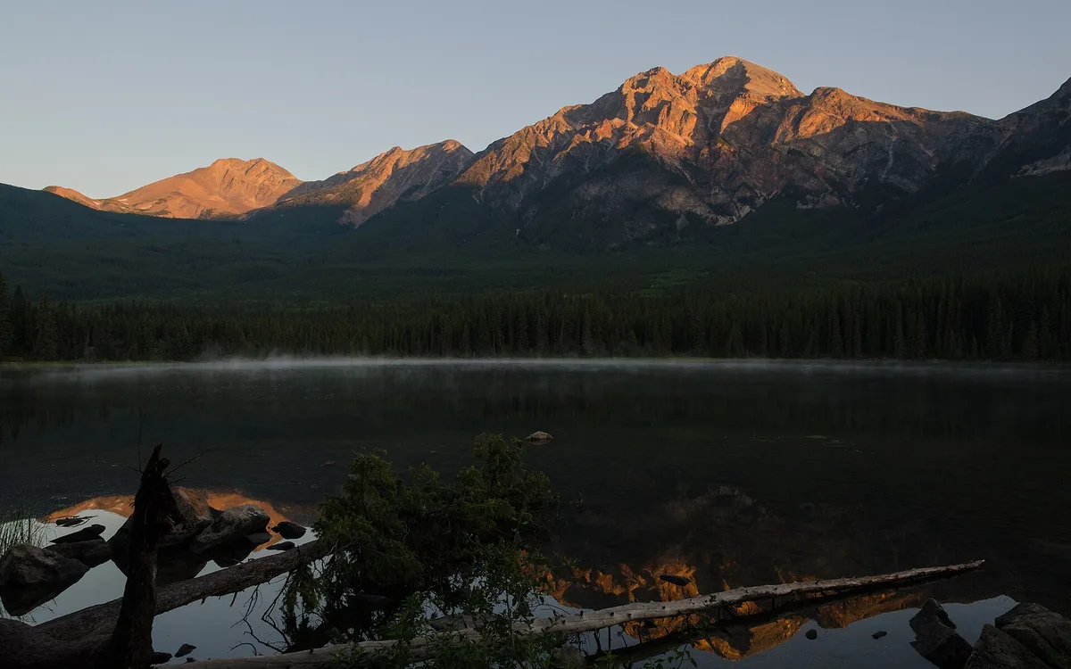
Pyramid and Patricia Lakes sit minutes above town, with a footbridge out to Pyramid Island for the reflection everyone photographs. The Valley of the Five Lakes loop, rebuilt after the fire, is the best short walk in the area, and Lac Beauvert below the Jasper Park Lodge closes a full circuit again. None of these need a booking, and after the shuttle drills of Banff that alone feels like a vacation.
Day 6 - Maligne Lake, or a day in Yoho
Day 6 gives you a genuine choice. Option A stays in Jasper and drives Maligne Lake, 48 km east of town. This is the detail most 2026 itineraries get wrong: Maligne Canyon partway along that road is closed, but the lake at the end of it’s open, and the boat tour to Spirit Island is the classic Jasper afternoon. Miette Hot Springs, the hottest in the mountains, is open too, off the road back toward the highway.
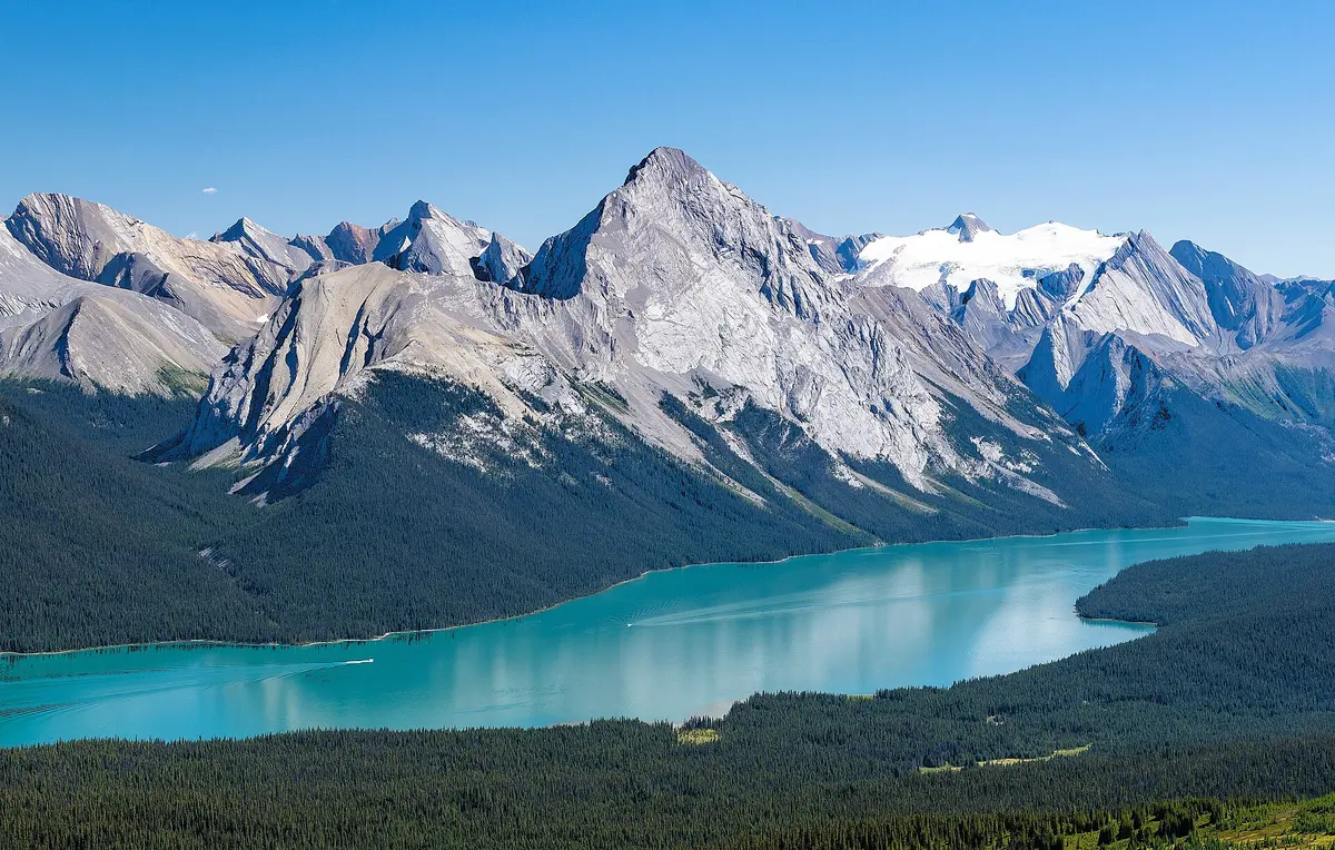
Book the boat before you drive out: our Maligne Lake Cruise guide covers the Classic-versus-Premium tiers, the 2026 season dates and the real drive-time buffer from Jasper.
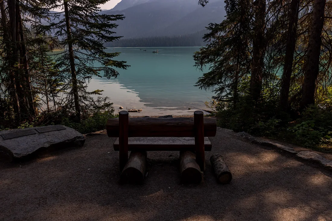
Option B trades a Jasper day for the drive south a day early, breaking it at Yoho National Park just over the boundary in British Columbia. Emerald Lake and Takakkaw Falls are a short detour off the highway near Field, and among the finest sights in the range that most seven-day plans never reach. It makes Day 7 shorter but Day 6 long.
Day 7 - Jasper back to Calgary (404 km)
There’s no faster loop home: you retrace the Icefields Parkway south, which is no hardship, because the light and the traffic are different in the other direction and you’ll spot pull-outs you drove past on Day 4. Jasper to Calgary is 404 km and about five and a half hours without stops, so leave early, keep an eye on the fuel gauge through the parkway again, and land at the airport with time to spare.
If you fly out of Edmonton instead, the Yellowhead Highway east is 370 km and about four hours, a flatter drive that skips the mountains. It only makes sense if your flight actually leaves from Edmonton; otherwise the parkway is shorter and far better.
Shorter and longer versions
Five days works if you cut one Banff day and one Jasper day: land and drive to Banff, do the Lake Louise shuttle and the parkway, give Jasper a single full day, and drive back. You lose the slow mornings but keep the spine of the trip. Ten days is where it gets good: add Yoho and Kootenay properly, a full-day alpine hike, a night in Canmore for the restaurants, and the Columbia Icefield glacier tour you skipped on the way through. This is the canonical Rockies road trip on this site, so treat any three-day or ten-day version as this route trimmed or padded.
When to drive it
July and August are the warmest and busiest, when shuttles, campgrounds and Jasper rooms sell out first, so book them before the flights. Late summer also carries a real chance of wildfire smoke. September is the smart month to drive it: the shuttles still run to 12 October, the crowds thin after the first week, and the larches turn at the end of the month.
Winter changes the trip into a different one. The Icefields Parkway requires snow tires or chains from 1 November to 31 March, or whenever else snow or ice covers it, and has no services along it at all, the Lake Louise and Moraine shuttles stop, and Moraine Lake Road is gated. It’s spectacular and cheap and half-empty, but it is a cold-weather drive that wants planning, not this itinerary in a fleece. Whatever the season, our guide to renting a car in Canada covers the winter tire rules and the one-way drop fees that catch people driving on from Calgary.
Read also
- The southern base, lakes and shuttles: Banff National Park
- The northern base and the 2026 recovery: Jasper National Park
- The drive between them, stop by stop: Icefields Parkway
- Where to sleep at the Banff end: where to stay in Banff
- The car, the winter tires and the drop fees: renting a car in Canada
- The gateway city and its day trips: things to do in Calgary
- The province around it all: Alberta travel guide
- Choosing mountains over the Pacific coast instead: Canadian Rockies vs Vancouver Island
Route day by day
- Days on the road
- 7
- Distance
- ≈980 km
- Budget from
- 900 CAD
- Best season
- June, July, August, September
The route at a glance
-
Banff National Park east gate
Route startstop ≈0 min
A park pass becomes mandatory here. Buy it online or at the gate before you drive on; it covers every national park in the country that day.
Photo: Milan Suvajac · CC BY-SA 4.0 · Wikimedia Commons ( source) -
Vermilion Lakes
128 km from the startstop ≈60 min
A free dead-end road along three shallow lakes, 4 km from Banff Avenue. No shuttle, no booking, and best at sunrise or dusk.
Photo: Chris Woodrich · CC BY-SA 4.0 · Wikimedia Commons ( source) -
Sulphur Mountain
131 km from the startstop ≈150 min
A gondola or a switchback trail to a summit boardwalk over the Bow Valley. The Banff Upper Hot Springs sit at the base of the same road.
Photo: Wilson Hui · CC BY 2.0 · Wikimedia Commons ( source) -
Johnston Canyon
150 km from the startstop ≈120 min
Catwalks bolted to the limestone walls lead to the Lower and Upper Falls. Reach it from Castle Junction, not the seasonally closed stretch of the parkway.
Photo: Ovedc · CC BY-SA 4.0 · Wikimedia Commons ( source) -
Castle Mountain
165 km from the startstop ≈15 min
The most photographed wall on the Bow Valley Parkway, and a roadside pull-out rather than a hike. Good light in the late afternoon.
Photo: buzzrosalee52 · CC BY-SA 3.0 · Wikimedia Commons ( source) -
Lake Louise and Moraine Lake
187 km from the startstop ≈300 min
Both lakes run on the Parks Canada shuttle; Moraine Lake Road is closed to private cars year-round. The larches above Moraine turn gold in the last week of September.
Photo: Wilson Hui · CC BY 2.0 · Wikimedia Commons ( source) -
Icefields Parkway (Tangle Falls)
314 km from the startstop ≈480 min
232 km of glaciers, lakes and waterfalls to Jasper. Fill the tank at Lake Louise, expect no cell signal and one seasonal fuel stop, and give the drive a full day.
Photo: KaleighAlysse · CC BY-SA 4.0 · Wikimedia Commons ( source) -
Jasper townsite
419 km from the startstop ≈0 min
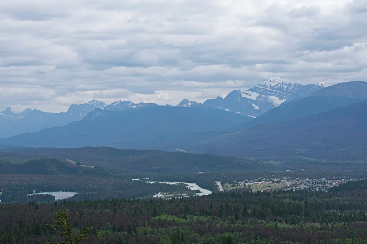
The northern base for two nights. The town is still rebuilding after the 2024 wildfire, so book a room well ahead of arriving.
Photo: Ymblanter · CC BY-SA 4.0 · Wikimedia Commons ( source) -
Pyramid and Patricia Lakes
425 km from the startstop ≈90 min
Two small lakes a few minutes above Jasper, both open and quiet. A footbridge crosses to Pyramid Island for the classic reflection.
Photo: Florian Fuchs · CC BY 3.0 · Wikimedia Commons ( source) -
Maligne Lake
467 km from the startstop ≈180 min
The classic Jasper lake, 48 km east of town and open in 2026 even though Maligne Canyon on the same road is not. Boat tours run to Spirit Island.
Photo: Christoph Strässler · CC BY-SA 4.0 · Wikimedia Commons ( source)
Route map
The map with stops loads on click - to keep the page lightweight.
The map didn’t load. Check your connection and refresh the page.