Northwest Territories Travel Guide: Records and Roads
The Northwest Territories in superlatives: the aurora capital, North America's deepest lake, a waterfall twice Niagara, and the road to the Arctic Ocean.
The Northwest Territories is a place you can put numbers on. It holds the aurora capital of the country, the deepest lake in North America, a waterfall that drops roughly twice the height of Niagara, and Canada’s first public road to reach the Arctic Ocean. Over all of it hangs the northern light show that made Yellowknife famous. The territory sells two very different trips, and the trick isn’t to blur them.
One trip is fly-in wilderness, where there’s no road at all and you arrive by float plane. The other is a road trip to the actual Arctic coast, gravel all the way. They cost wildly different amounts, take different kinds of nerve, and reward different travellers, so it pays to know which one you’re signing up for before you book a single flight.
Yellowknife and the deepest lake in North America
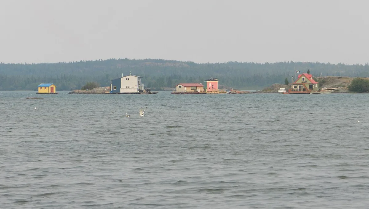
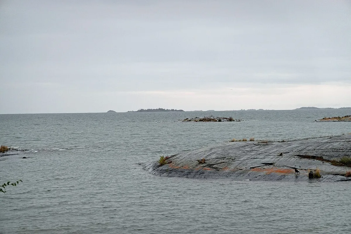
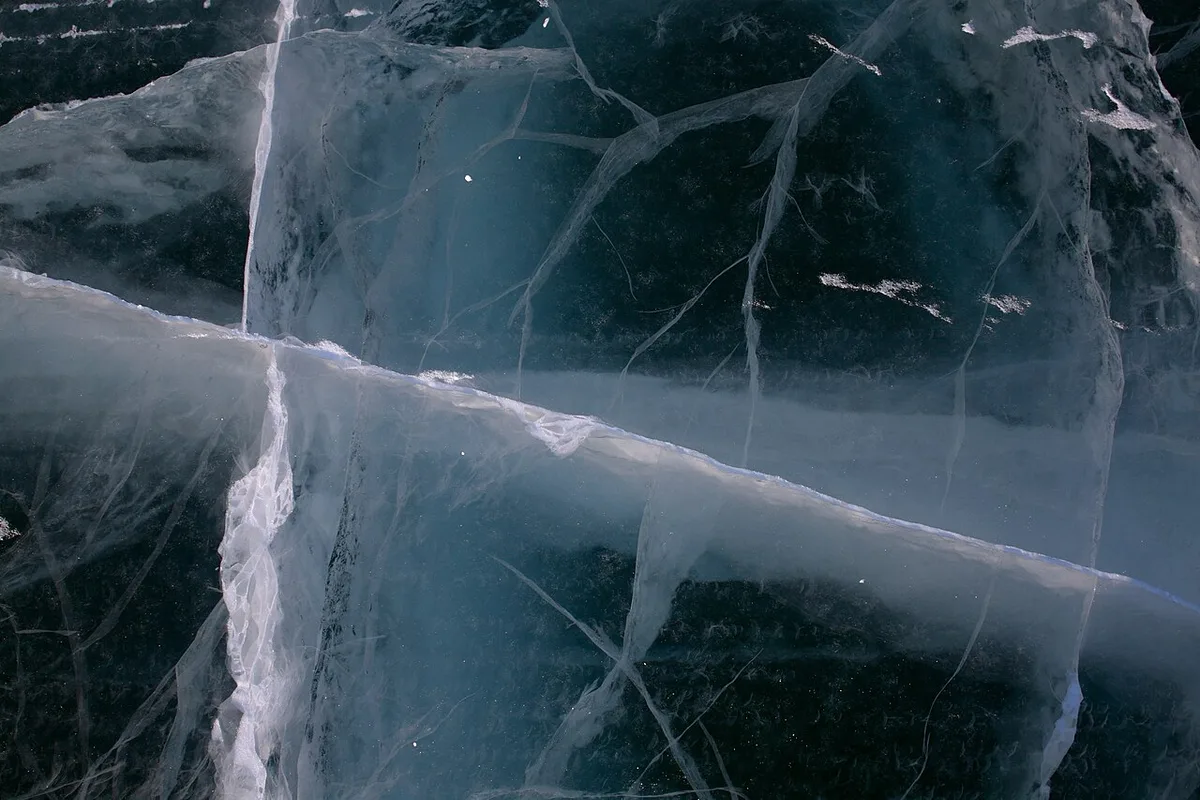
The capital, Yellowknife, sits on the north shore of Great Slave Lake, which reaches 614 metres deep in Christie Bay, making it the deepest lake in North America. Not the world, not Canada, but the continent; it’s a record worth getting right. The lake shapes the city. Its Old Town and the cluster of brightly painted houseboats moored offshore are the postcard, and in the depths of winter the same water freezes hard enough to carry ice roads out across the bay.
The city itself is two towns in one. Down by the water, Old Town is a likeable knot of float-plane docks, log houses and the Bush Pilots’ Monument, a rock you climb for the view out over the bay. Uptown is newer and blunter, largely built on the diamond mines that opened north of the city in the late 1990s and turned a rough frontier settlement into a working territorial capital. It stays small enough to walk, and that’s the charm: a day or two is plenty to feel the place before you fly on to a wilderness or point the car north.
Yellowknife is, above all, the aurora capital. It sits almost directly under the auroral oval, and NWT Tourism reckons on up to 240 nights of active aurora a year, split into an autumn window and a long winter one. That figure counts activity rather than guaranteed sightings, but the odds here are as good as anywhere on Earth, which is why the winter town fills with aurora hunters. For booking nights, packages and the cold, use Yellowknife aurora tours; the Canada-wide map still lives in northern lights in Canada.
Nahanni: the fly-in wilderness
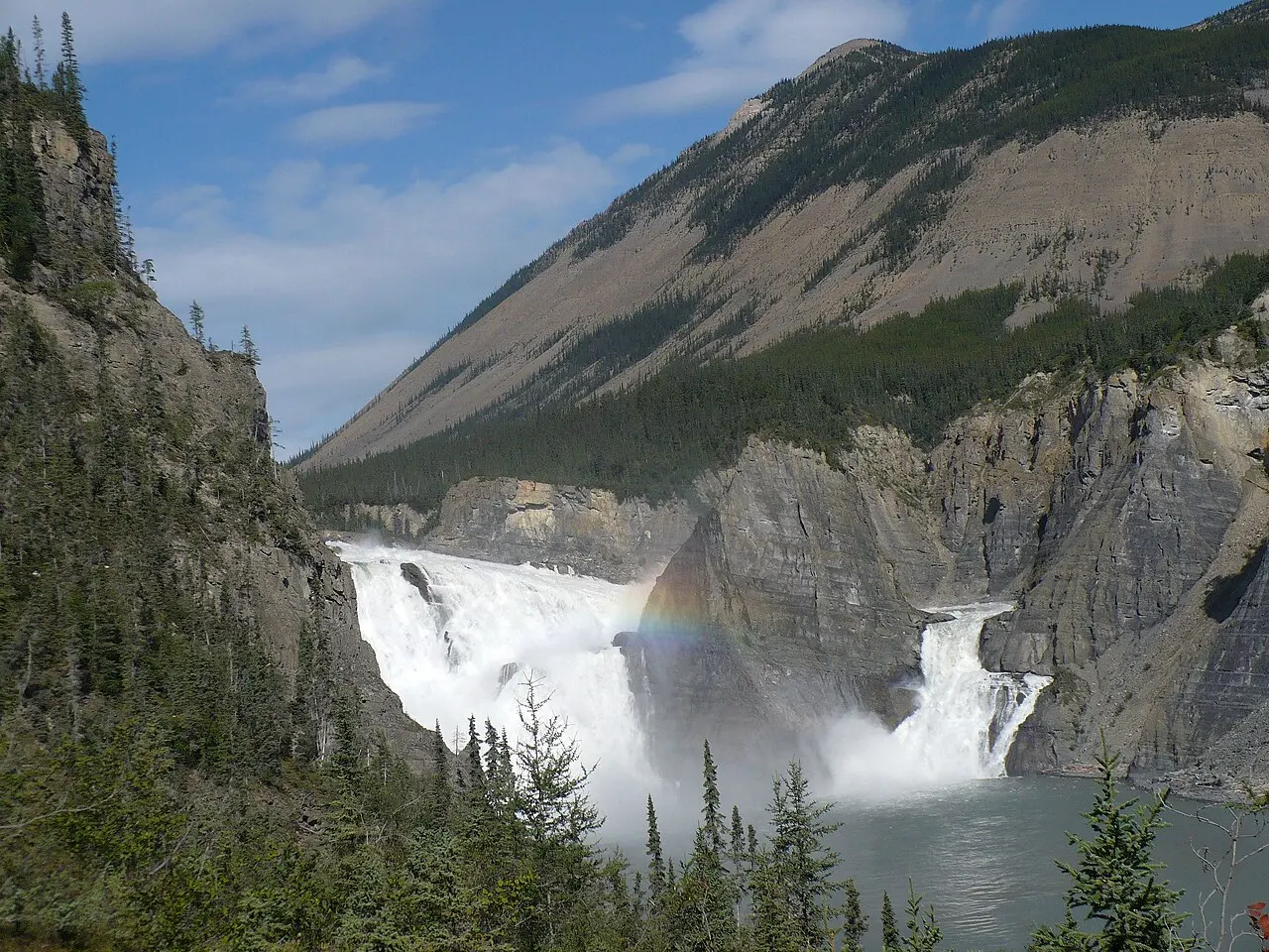
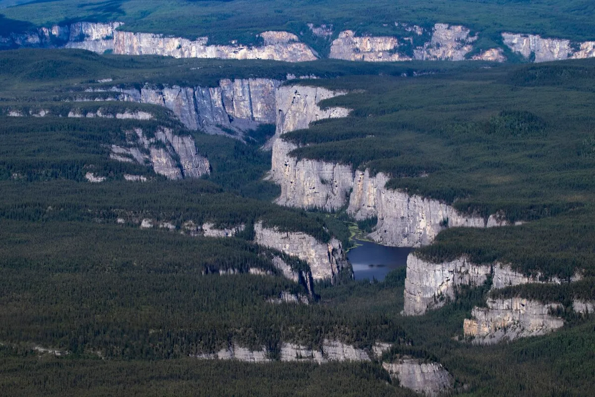
The territory’s great wilderness has no road to it at all. Nahanni National Park Reserve, on the South Nahanni River about 130 km southwest of Fort Simpson, is reached by float plane and travelled by canoe or raft, and it has been a UNESCO World Heritage Site since 1978, one of the very first natural sites ever inscribed. Its centrepiece is Virginia Falls, known in the Dene language as Naili Cho, “big water falling,” which plunges roughly twice the height of Niagara (about 96 m) in a single thundering drop, split by a rock spire at its lip.
Everything about Nahanni is deliberate and remote. The reserve sprawls across roughly 30,000 km2 and hides the granite spires of the Cirque of the Unclimbables, a legend among climbers. That it recorded just 836 visits in 2024-25 is the whole story in one number: this is one of Canada’s hardest parks to reach, a chartered, multi-day river expedition rather than a place you drop by.
The road to the Arctic Ocean
The opposite kind of trip is now possible by car. In November 2017 the Inuvik-Tuktoyaktuk Highway opened, 138 km of all-weather gravel that made Tuktoyaktuk the first place on the Arctic Ocean reachable by public road in Canada. Before it, “Tuk” could be reached only by air in summer or over a winter ice road across the frozen delta.
The clever part is where the road begins. It picks up exactly where the Dempster Highway from the Yukon ends at Inuvik, which means a summer traveller can now drive all the way from Dawson City to dip a hand in the Arctic Ocean. The Dempster itself belongs to the Yukon guide, so follow that link for the first 740 km; here the point is simply that the two roads join, and the last leg is the newest and northernmost of them all.
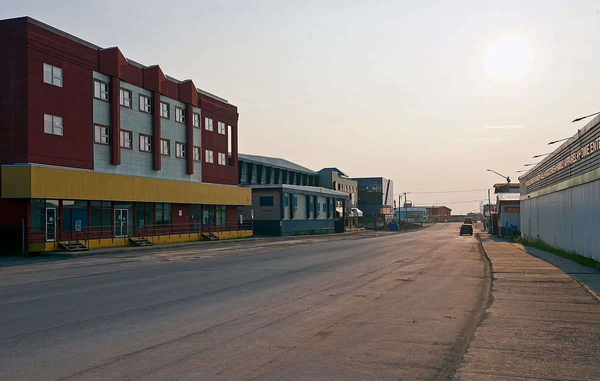
It’s an all-season road, but don’t read that as year-round and easy. The Dempster that feeds it, the seasonal river ferries and the deep winter all shape when and how you can make the run, so plan it around summer and check every road and ferry report before you go.
Wood Buffalo, briefly
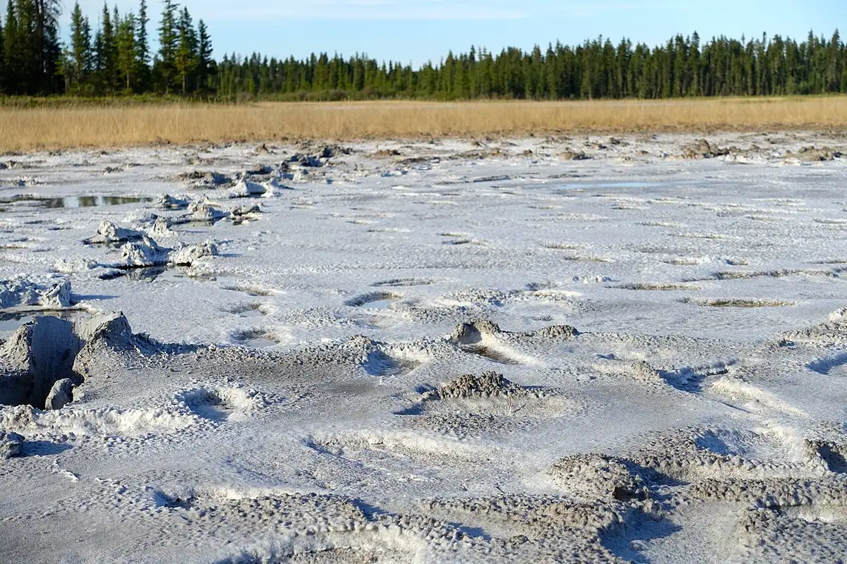
In the far south, Wood Buffalo National Park is Canada’s largest, and it doesn’t belong to the territory alone: it straddles the NWT-Alberta border. It’s a UNESCO World Heritage Site and an enormous Dark-Sky Preserve, the only natural nesting ground of the endangered whooping crane, and home to free-ranging wood bison. Access is remote, via Fort Smith or from Alberta to the south, and its salt plains are one of the strangest landscapes in the country.
When to visit
There are really two seasons. Summer (roughly June to August) opens the roads and rivers, brings the midnight sun and is the only realistic window for Nahanni or the drive to Tuktoyaktuk. Winter (mid-November to early April) is the aurora and ice-road season, dark, spectacular and brutally cold. The short shoulders between them can catch either, with the late-August aurora returning while the roads are still open.
What the remoteness actually costs
The honest part, because the Northwest Territories isn’t a cheap or spontaneous trip, and the two kinds of journey cost you in different currencies.
Fly-in wilderness is expensive in money. A Nahanni trip means chartered float planes and days of guided river travel, the kind of thing you save for and do once, not a long weekend. The road trip is cheap in fees but costly in time and fuel. The Dempster plus the Inuvik-Tuktoyaktuk Highway is well over 800 km of mostly gravel with services hundreds of kilometres apart, so tires and fuel, not park passes, are the real budget, and our guide to renting a car in Canada is worth reading before you choose a vehicle. Winter costs you in gear, the serious cold-weather clothing the aurora guide covers. And across all of it, remoteness is exactly why you insure the trip: a medevac from the far north isn’t a hypothetical, so read up on travel insurance for Canada before you commit. On entry, whether you need an eTA or a visa depends on your nationality and the rules change, so confirm it through our Canada eTA and visas guide.
Read also
- Where the road north begins: Yukon travel guide
- The Arctic territory carved from it in 1999: Nunavut travel guide
- The province Wood Buffalo shares: Alberta travel guide
- Why Yellowknife wins for the lights: northern lights in Canada
- Every province and territory: the provinces hub
On the map
The map loads on click - to keep the page lightweight.
The map didn’t load. Check your connection and refresh the page.
Read also

Provinces · 12 min read
Alberta Travel Guide: What to See and How Long
Updated · September 14, 2026Alberta beyond the Rockies: six UNESCO sites, the badlands, park fees after the 2026 free-entry window, the pass rental cars still need, and when to go.

Provinces · 9 min read
British Columbia Travel Guide: The Five Trips
Updated · September 14, 2026British Columbia is bigger than France and Germany combined: the five realistic trips, how many days each needs, the ferry to the island and when to go.

Provinces · 10 min read
Manitoba Travel Guide: Bears, Belugas and Winnipeg
Updated · July 24, 2026Why Manitoba is two trips: walkable Winnipeg and the Forks, and Churchill, the fly-in north for polar bears, belugas and the northern lights.

Provinces · 8 min read
New Brunswick Travel Guide: Fundy and Two Tongues
Updated · September 14, 2026New Brunswick, the Bay of Fundy province: Hopewell Rocks and record tides, Saint John, Fredericton and Canada's only bilingual province.